The Uinta Mountains are an east-west trending chain of mountains in northeastern Utah extending a short distance into northwest Colorado and slightly into southwestern Wyoming in the United States. As a subrange of the Rocky Mountains, they are unusual for being the highest range in the contiguous United States running east to west, and lie approximately 100 miles (160 km) east of Salt Lake City. The range has peaks ranging from 11,000 to 13,528 feet, with the highest point being Kings Peak, also the highest point in Utah. The Mirror Lake Highway crosses the western half of the Uintas on its way to Wyoming. Utah State Route 44 crosses the east end of the Uintas between Vernal and Manila.
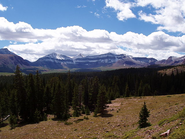
This view of Kings Peak and the Henry's Fork Basin shows the cliff bands and basins typical throughout the Uintas.
Hayden Peak and Mount Agassiz seen from Bald Mountain
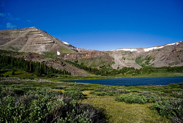
Gilbert Peak seen from lake 151
Utah is a landlocked state in the Mountain West subregion of the Western United States. It borders Colorado to its east, Wyoming to its northeast, Idaho to its north, Arizona to its south, and Nevada to its west. Utah also touches a corner of New Mexico in the southeast. Of the fifty U.S. states, Utah is the 13th-largest by area; with a population over three million, it is the 30th-most-populous and 11th-least-densely populated. Urban development is mostly concentrated in two areas: the Wasatch Front in the north-central part of the state, which is home to roughly two-thirds of the population and includes the capital city, Salt Lake City; and Washington County in the southwest, with more than 180,000 residents. Most of the western half of Utah lies in the Great Basin.
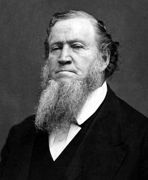
Brigham Young led the first Mormon pioneers to the Great Salt Lake.
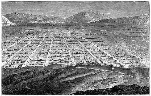
A sketch of Salt Lake City in 1860
Deseret Village recreates Utah pioneer life for tourists.
The Golden Spike where the First transcontinental railroad was completed in the U.S. on May 10, 1869, in Promontory, Utah