Uluṟu-Kata Tjuṯa National Park
Videos
Page
Uluṟu-Kata Tjuṯa National Park is a protected area in the Northern Territory of Australia. The park is home to both Uluru and Kata Tjuta. It is located 1,943 kilometres (1,207 mi) south of Darwin by road and 440 kilometres (270 mi) south-west of Alice Springs along the Stuart and Lasseter Highways. The park covers 1,326 square kilometres (512 sq mi) and includes the features it is named after: Uluru and, 40 kilometres (25 mi) to its west, Kata Tjuta. The location is listed as a UNESCO World Heritage Site for natural and cultural landscape.

Uluru (close) and Kata Tjuta (far)

Aboriginal rock art at Uluru

A close up view of the crevasses on Uluru

Bush tucker (bush foods) harvested at Alice Springs Desert Park.
Northern Territory
Videos
Page
The Northern Territory is an Australian territory in the central and central northern regions of Australia. The Northern Territory shares its borders with Western Australia to the west, South Australia to the south, and Queensland to the east. To the north, the territory looks out to the Timor Sea, the Arafura Sea and the Gulf of Carpentaria, including Western New Guinea and other islands of the Indonesian archipelago.

Thomas Baines with Aboriginal Australians near the mouth of the Victoria River.

Letters Patent annexing the Northern Territory to South Australia, 1863
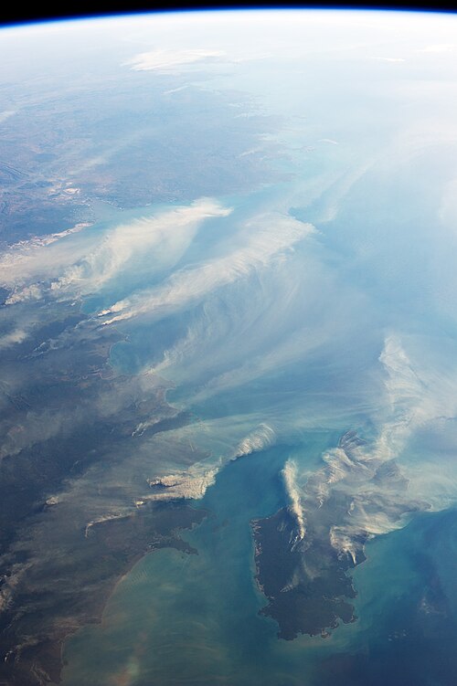
The northern coast of Australia is on the left with Melville Island in the lower right

Mount Sonder, the fourth-highest mountain in the Northern Territory after nearby Mount Zeil, in West MacDonnell National Park