Umnak is one of the Fox Islands of the Aleutian Islands. With 686.01 square miles (1,776.76 km2) of land area, it is the third largest island in the Aleutian archipelago and the 19th largest island in the United States. The island is home to a large volcanic caldera on Mount Okmok and the only field of geysers in Alaska. It is separated from Unalaska Island by Umnak Pass. In 2000, Umnak was permanently inhabited by only 39 people and by 2010, around 18, placing the settlement of Nikolski in difficulty and its school was closed.
May 2014 NASA satellite photograph of Umnak
Umnak, Bogoslof, and Unalaska Islands as seen from the Bering Sea looking south. Unalaska Island is on the left, Bogoslof Island is in the center, and Umnak Island is on the right.
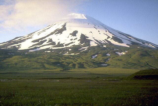
Highest point, Mount Vsevidof
Okmok caldera on Umnak
The Aleutian Islands —also called the Aleut Islands, Aleutic Islands, or, before 1867, the Catherine Archipelago—are a chain of 14 main, larger volcanic islands and 55 smaller ones. Most of the Aleutian Islands belong to the U.S. state of Alaska, with the archipelago encompassing the Aleutians West Census Area and the Aleutians East Borough. The Commander Islands, located further to the west, belong to the Russian federal subject of Kamchatka Krai, of the Russian Far East. The islands form part of the Aleutian Arc of the Northern Pacific Ocean, and occupy a land area of 6,821 sq mi (17,666 km2) that extends westward roughly 1,200 mi (1,900 km) from the Alaskan Peninsula mainland, in the direction of the Kamchatka Peninsula; the archipelago acts as a border between the Bering Sea to the north and the Pacific Ocean to the south. Crossing longitude 180°, at which point east and west longitude end, the archipelago contains both the westernmost and easternmost parts of the United States, by longitude. The westernmost U.S. island, in real terms, however, is Attu Island, west of which runs the International Date Line. While nearly all of the archipelago is part of Alaska at the extreme western end, the small, geologically-related Commander Islands belong to Russia.

Unalaska Island in the Aleutian Islands.
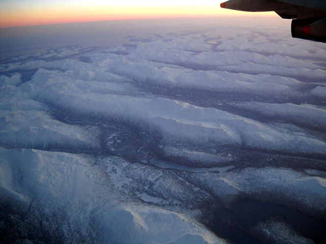
The Aleutian Islands from 32,000 feet (9,700 m).
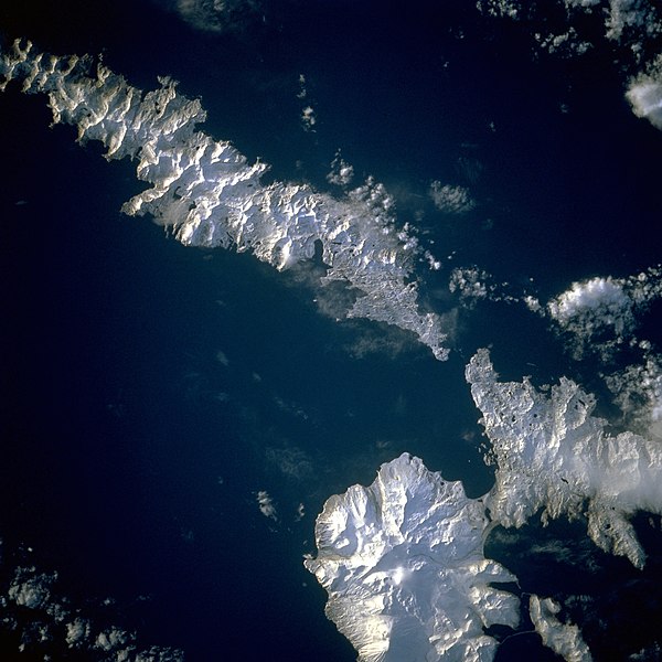
Image of the islands taken by the STS-56 crew. Amlia Island is visible in the upper left of the photo, while the eastern half of Atka Island is shown at the right. North is to the bottom left in this photo.
These cloud formations were seen over the western Aleutian Islands.


