Upper Peninsula of Michigan
Videos
The Upper Peninsula of Michigan is the northern and more elevated of the two major landmasses that comprise the U.S. state of Michigan; it is separated from the Lower Peninsula by the Straits of Macki

Pictured Rocks National Lakeshore arch

Quincy Mine Shaft House

Gfp michigan porcupine mountains state park full view of lake of the clouds

Upper Tahquamenon Falls Fall 2007
Toledo War
Videos
The Toledo War, also known as the Michigan–Ohio War or Ohio–Michigan War, was a boundary dispute between the state of Ohio and the adjoining Michigan Territory over the Toledo Strip. Control of the Ma
Upper Peninsula of Michigan
…After being divided among various territorial jurisdictions, it was granted to the newly admitted state of Michigan as part of the settlement of a dispute with Ohio over the city of Toledo. The region's exploitable timber resources and the discovery of sizeable iron and copper deposits in the 19th century…

Former Ohio Governor and U.S. Surveyor General Edward Tiffin, who commissioned the Harris Line survey
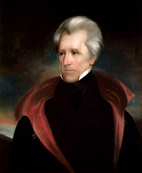
U.S. President Andrew Jackson, who sided with Ohio in the conflict and dismissed Mason as governor

A box labeled "Toledo, Mi" that may have been used by the Michigan Militia during the Toledo War

Site of the Battle of Phillips Corners