The Upper Rhine Plain, Rhine Rift Valley or Upper Rhine Graben is a major rift, about 350-kilometre-long (220 mi) and on average 50-kilometre-wide (31 mi), between Basel in the south and the cities of Frankfurt/Wiesbaden in the north. Its southern section straddles the France–Germany border. It forms part of the European Cenozoic Rift System, which extends across Central Europe. The Upper Rhine Graben formed during the Oligocene, as a response to the evolution of the Alps to the south. It remains active to the present day. Today, the Rhine Rift Valley forms a downfaulted trough through which the river Rhine flows.
Satellite image showing the southern section of the Upper Rhine Plain and the rift flanks of Vosges, France, and the Black Forest, Germany.
Schematic cross-section of the Rhine Rift Valley.
The Upper Rhine Plain, view from west to east. Front: a vineyard near Neustadt an der Weinstraße, background: Mannheim (right: Mannheim Power Station, far north: the Odenwald
A satellite view of the plain: Shot taken by NASA satellite
In geology, a rift is a linear zone where the lithosphere is being pulled apart and is an example of extensional tectonics. Typical rift features are a central linear downfaulted depression, called a graben, or more commonly a half-graben with normal faulting and rift-flank uplifts mainly on one side. Where rifts remain above sea level they form a rift valley, which may be filled by water forming a rift lake. The axis of the rift area may contain volcanic rocks, and active volcanism is a part of many, but not all, active rift systems.
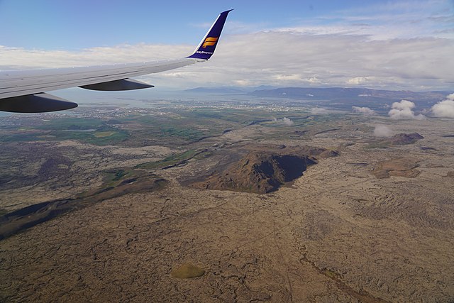
Volcano-tectonic landforms connected to rifting on Reykjanes Peninsula, Iceland: faults, fissures, elongated volcanoes of subglacial origin, postglacial lava fields


