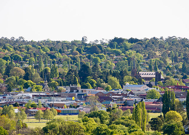
Uralla is a town on the Northern Tablelands, New South Wales, Australia. It is located at the intersection of the New England Highway and Thunderbolts Way, 465 kilometres (289 mi) north of Sydney and about 23 kilometres (14 mi) south-west of the city of Armidale. At the 2016 census, the township of Uralla had a population of 2,388 people. According to the 2021 census, the population of Uralla had increased to 2,728.
Uralla, NSW
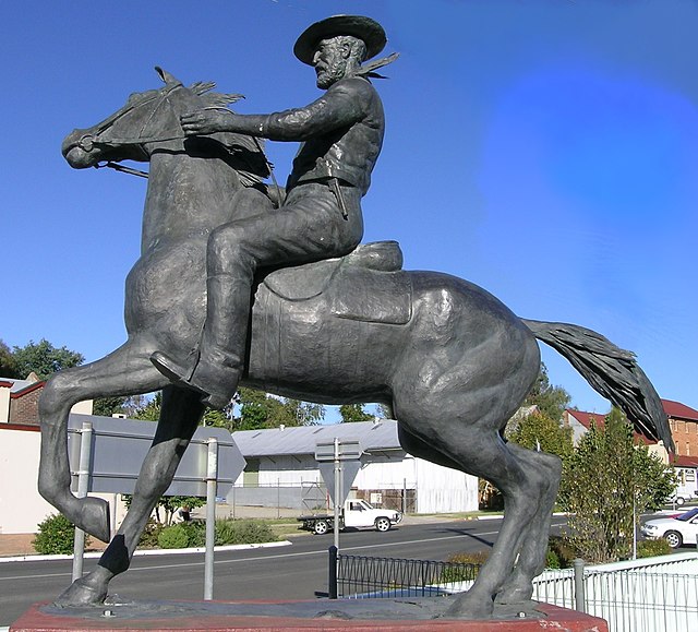
Statue of Captain Thunderbolt at the intersection of New England Highway and Thunderbolts Way, Uralla, NSW
All Saints' Church, Gostwyck, east of Uralla
Uralla railway station
The Northern Tablelands, also known as the New England Tableland, is a plateau and a region of the Great Dividing Range in northern New South Wales, Australia. It includes the New England Range, the narrow highlands area of the New England region, stretching from the Moonbi Range in the south to the Queensland border in the north. The region corresponds generally to the Bureau of Meteorology forecast area for the Northern Tablelands which in this case includes Inverell although it is significantly lower in elevation.
Livestock grazing country, Irish Town, Walcha.
Dangars Lagoon, Uralla
Armidale
Wool display, Walcha show.