A utility tunnel, utility corridor, or utilidor is a passage built underground or above ground to carry utility lines such as electricity, steam, water supply pipes, and sewer pipes. Communications utilities like fiber optics, cable television, and telephone cables are also sometimes carried. One may also be referred to as a services tunnel, services trench, services vault, or cable vault. Smaller cable containment is often referred to as a cable duct or underground conduit. Direct-buried cable is a major alternative to ducts or tunnels.
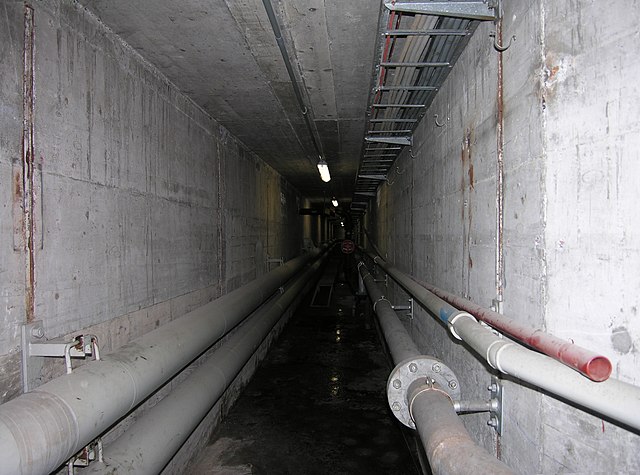
This utility tunnel in Prague is equipped with railway tracks for maintenance vehicles
Flin Flon (in Manitoba, Canada) is built on rock, making excavation costly. The utilidor in the foreground carries municipal sewer and water services and protects piping from freezing in the winter.
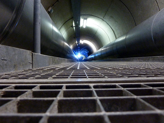
Stark utility tunnel in Zurich, Switzerland
District heating tunnel beneath the Rhein River in Cologne, Germany
Permafrost is soil or underwater sediment which continuously remains below 0 °C (32 °F) for two years or more: the oldest permafrost had been continuously frozen for around 700,000 years. While the shallowest permafrost has a vertical extent of below a meter (3 ft), the deepest is greater than 1,500 m (4,900 ft). Similarly, the area of individual permafrost zones may be limited to narrow mountain summits or extend across vast Arctic regions. The ground beneath glaciers and ice sheets is not usually defined as permafrost, so on land, permafrost is generally located beneath a so-called active layer of soil which freezes and thaws depending on the season.

Permafrost temperature profile. Permafrost occupies the middle zone, with the active layer above it, while geothermal activity keeps the lowest layer above freezing. The vertical 0 °C or 32 °F line denotes the average annual temperature that is crucial for the upper and lower limit of the permafrost zone, while the red lines represent seasonal temperature changes and seasonal temperature extremes. Solid curved lines at the top show seasonal maximum and minimum temperatures in the active layer, while the red dotted-to-solid line depicts the average temperature profile with depth of soil in a permafrost region.
Excavating ice-rich permafrost with a jackhammer in Alaska.
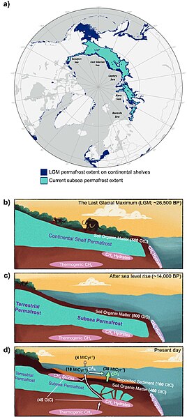
Changes in subsea permafrost extent and structure between the Last Glacial Maximum and now.
A group of palsas, as seen from above, formed by the growth of ice lenses.


