The Vale of White Horse is a local government district of Oxfordshire in England. It was historically part of Berkshire. The area is commonly referred to as the 'Vale of the White Horse'. It is crossed by the Ridgeway National Trail in its far south, across the North Wessex Downs AONB at the junction of four counties. The northern boundary is defined by the River Thames. The name refers to Uffington White Horse, a prehistoric hill figure.
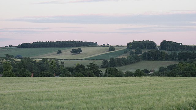
Characteristic landscape of farmland, hills and woodlands
A panoramic view into the Vale; the White Horse is on the right and Dragon Hill centre right
Vale scene, with White Horse Hill on the horizon
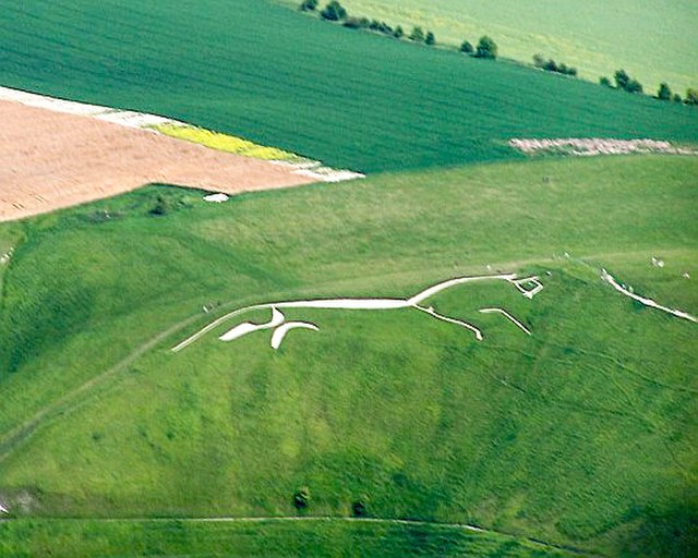
The Uffington White Horse, as seen from an altitude of about 600 m (2000 ft), from the cockpit of a glider
Oxfordshire is a ceremonial county in South East England. The county is bordered by Northamptonshire and Warwickshire to the north, Buckinghamshire to the east, Berkshire to the south, and Wiltshire and Gloucestershire to the west. The city of Oxford is the largest settlement and county town.
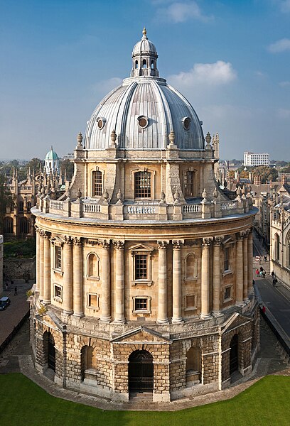
Image: Radcliffe Camera, Oxford Oct 2006
Image: Aerial view of Islip, Oxfordshire geograph.org.uk 3892478 (cropped)
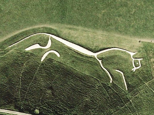
Image: Uffington White Horse sat
Brasenose Lane in Oxford city centre, a street onto which three colleges back.


