The Victoria Falls Bridge crosses the Zambezi River just below the Victoria Falls and is built over the Second Gorge of the falls. As the river forms the border between Zimbabwe and Zambia, the bridge links the two countries and has border posts on the approaches to both ends, at the towns of Victoria Falls, Zimbabwe, and Livingstone, Zambia.
Victoria Falls Bridge
The bridge under construction in 1905
Victoria Falls Bridge from the Knife Edge Bridge trail near the falls on the Zambia side
Bungee jumping off the Victoria Falls Bridge
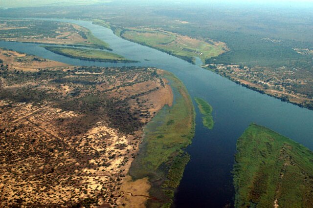
The Zambezi is the fourth-longest river in Africa, the longest east-flowing river in Africa and the largest flowing into the Indian Ocean from Africa. Its drainage basin covers 1,390,000 km2 (540,000 sq mi), slightly less than half of the Nile's. The 2,574 km (1,599 mi) river rises in Zambia and flows through eastern Angola, along the north-eastern border of Namibia and the northern border of Botswana, then along the border between Zambia and Zimbabwe to Mozambique, where it crosses the country to empty into the Indian Ocean.
The Zambezi River at the junction of Namibia, Zambia, Zimbabwe and Botswana
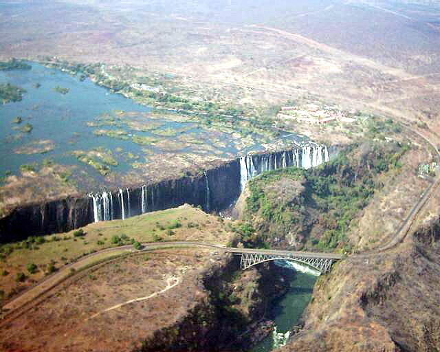
Victoria Falls, the end of the upper Zambezi and beginning of the middle Zambezi
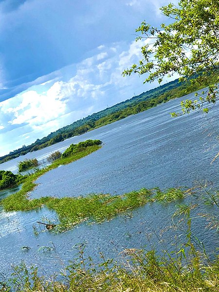
Mighty Zambezi
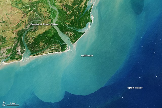
Annotated view of the Zambezi River Delta from space