Villa Rica District is one of eight districts of Oxapampa Province in Pasco Department, Peru. The district has an area of 896 square kilometres (346 sq mi) and a population of 18,673 in 2017. The capital of the district is the town of Villa Rica which had a population of 11,900 in 2017. The district is the location of the Cerro de la Sal or Salt Mountain, an important gathering place for indigenous people of the region and a center of Franciscan missionary activity in the 17th and 18th centuries. The town was founded in 1928 by settlers of German and Austrian origin from the town of Pozuzo.
The town of Villa Rica
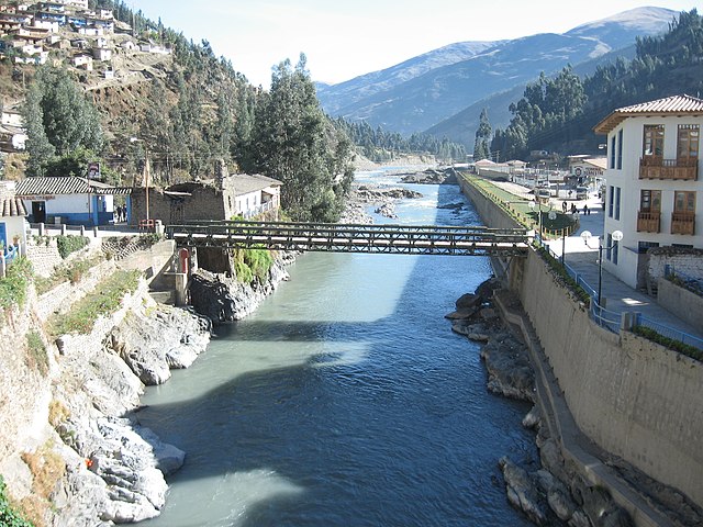
The Paucartambo River is the southern border of Villa Rica District.
The Oxapampa Province is the largest of three provinces that make up the Pasco Region in Peru. The capital of the Oxapampa province is the city of Oxapampa. The province is located on the eastern slopes of the Andes reaching down to the lowlands of the Amazon Basin. The high point of the province is approximately 5,300 metres (17,400 ft) in elevation near the summit of Huaguruncho mountain in the Huancabamba District and the low point is approximately 200 metres (660 ft) on the Pachitea River in the Constitución District.
Districts of Oxapampa province.
Yanachaga-Chemillén National Park, red; Communal Reserves (Yanesha, El Sira), pink; Protected Forest (San Matías-San Carlos), dark green; Municipal Conservation Area (Bosque de Sho’llet), pale blue, unprotected area, pale green.