Virginia State Route 143
Videos
Page
State Route 143 is a primary state highway in the U.S. state of Virginia. The state highway runs 35.39 miles (56.95 km) from Camp Peary near Williamsburg east to U.S. Route 258 at Fort Monroe in Hampton. SR 143 is a major local thoroughfare on the Virginia Peninsula portion of the Hampton Roads metropolitan area. The state highway is named Merrimac Trail through the independent city of Williamsburg and adjacent portions of York County and James City County. SR 143 follows Jefferson Avenue through the city of Newport News from the Williamsburg area past Virginia Peninsula Regional Jail to near Downtown Newport News. The state highway, which mostly runs northwest–southeast, heads northeast from Newport News, serving as one highway connecting the downtown areas of Newport News and Hampton. SR 143 parallels both US 60 and Interstate 64 (I-64) extensively, and sometimes very closely, throughout its course. The state highway also runs concurrently with US 60 in Hampton and with US 17 in Newport News.
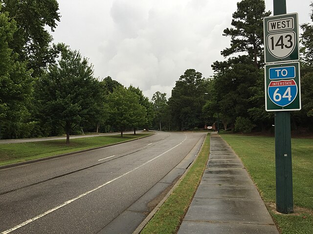
View west along SR 143 at SR 5 in Williamsburg
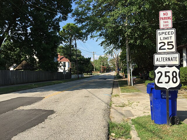
U.S. Route 258
Videos
Page
U.S. Route 258 is a spur of US 58 in the U.S. states of North Carolina and Virginia. The U.S. Highway runs 220.15 miles (354.30 km) from US 17 Business and NC 24 Business in Jacksonville, North Carolina north to Virginia State Route 143 at Fort Monroe in Hampton, Virginia. In North Carolina, US 258 connects Jacksonville with the Inner Banks communities of Kinston, Snow Hill, Farmville, Tarboro, and Murfreesboro. The U.S. Highway continues through the Virginia city of Franklin, where the highway intersects US 58, and the town of Smithfield on its way to the Hampton Roads metropolitan area. US 258 crosses the James River on the James River Bridge and follows Mercury Boulevard through Newport News and Hampton.
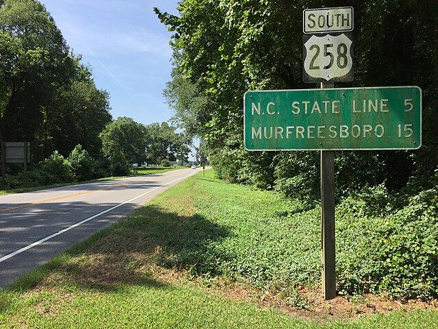
View south along US 258 at SR 189 in Southampton County, Virginia
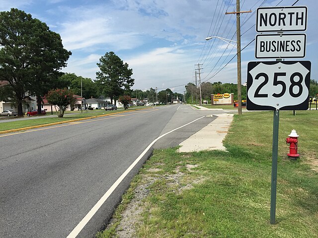
View north at the south end of US 258 Bus. at US 58/US 258 in Franklin
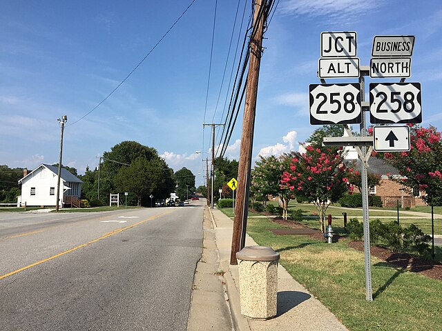
View north along US 258 Bus. at US 258 Alt. in Smithfield
View north along US 258 Alt. in Smithfield