Virginia State Route 56
Videos
Page
State Route 56 is a primary state highway in the U.S. state of Virginia. The state highway runs 60.87 miles (97.96 km) from U.S. Route 11 at Steeles Tavern east to US 60 near Buckingham. SR 56 is the main east–west highway of Nelson County. The state highway connects the county seat of Lovingston with Buckingham to the east and the Blue Ridge Mountains and the Shenandoah Valley to the west.

View west along SR 56 west of SR 151 near Roseland

View west along SR 56 in Rockbridge County during autumn
U.S. Route 11 in Virginia
Videos
Page
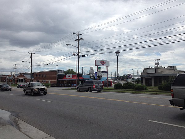
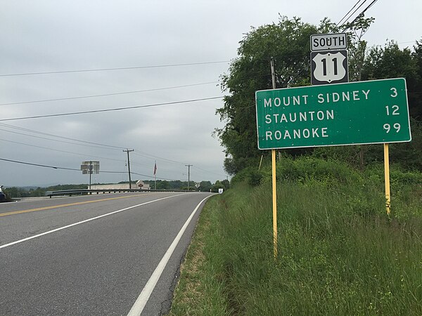
U.S. Route 11 (US 11) is a north–south United States Numbered Highway in western Virginia. At 339 miles (546 km), it is the second longest numbered route and longest primarily north–south route in the state. It enters the state from Tennessee as the divided routes US 11E and US 11W at Bristol, roughly follows the West Virginia border through the Blue Ridge Mountains and Shenandoah Valley, and enters the Eastern Panhandle of West Virginia from Frederick County. Most of the route closely parallels I-81. From south to north, US 11 serves the cities and towns of Bristol, Abingdon, Wytheville, Pulaski, Radford, Christiansburg, Roanoke, Lexington, Staunton, Harrisonburg, Strasburg, and Winchester. As one of the original U.S. Highways, it was first designated through Virginia in 1926 and has largely followed the same route since. Prior to the construction of the Interstate Highway System, it was the primary long-distance route for traversing the western part of the state. Much of it roughly follows the Great Wagon Road, a colonial-era road that followed the Appalachian Mountains from Georgia to Pennsylvania.
Northbound US 11/eastbound US 460 at the intersection with US 11 Alt./US 460 Alt. in Salem
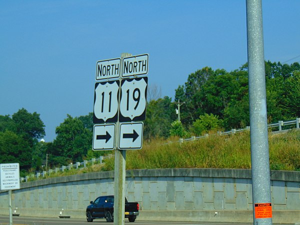
US 11/US 19 after intersecting I-81 in Bristol
View south along US 11 near SR 256 in Weyers Cave, Augusta County

US 11 inside the James Madison University campus in Harrisonburg. Woodrow Wilson Hall can be seen in the background.