Vorotan (river)
Videos
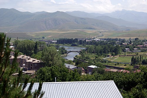
The Vorotan, or Bargushad or Bazarchay, is a river in the South Caucasus that is the largest right tributary of the Hakari river. It starts from the northwestern slopes of the Syunik Plateau, from the Tsalk pond and adjacent springs at an altitude of 3,045 m, receives the water of streams flowing from several small ponds, as well as the springs of Gorayk village, then it flows in a southeastern direction through the territory of Sisian and Goris regions. It flows through Armenia for 119 kilometres (74 mi) in a generally south-easterly direction. The river enters Azerbaijan again, flowing for 43 km (27 mi) through the districts of Qubadli and Zangilan. The lower section of the Hakari, from its confluence with the Vorotan until its confluence with the Aras river, is sometimes considered to be part of the Vorotan.
The Vorotan in Sisian

Vorotan river and its basin (light gray) within Armenia

Shaki Waterfall

Vorotan River Canyon near Tatev
Tatev Monastery
Videos
The Tatev Monastery is a 9th-century Armenian Apostolic Christian monastery located on a large basalt plateau near the village of Tatev in the Syunik Province in southeastern Armenia. The term "Tatev" usually refers to the monastery. The monastic ensemble stands on the edge of a deep gorge of the Vorotan River. Tatev is known as the bishopric seat of Syunik and played a significant role in the history of the region as a center of economic, political, spiritual and cultural activity.

The Tatev Monastery complex and its fortifications

View of the monastery and surroundings, 2016

The Church of Saints Paul and Peter at sunset

St. Gregory the Illuminator's Church