The W National Park or W Regional Park is a major national park in West Africa around a meander in the Niger River shaped like the letter W. The park includes areas of the three countries Niger, Benin and Burkina Faso, and is governed by the three governments. Until 2008, the implementation of a regional management was supported by the EU-funded project ECOPAS. The three national parks operate under the name W Transborder Park. The section of W National Park lying in Benin, measuring over 8,000 km2 (3,100 sq mi), came under the full management of African Parks in June 2020. In Benin, W National Park is contiguous with Pendjari National Park which is also under the management of African Parks.
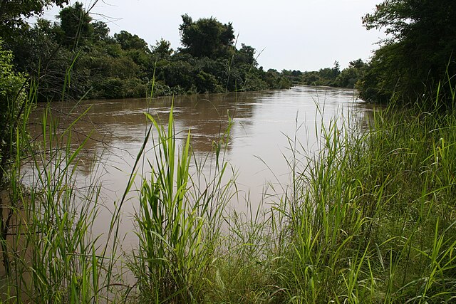
Mékrou River in the W-National Park
Bends in the River Niger which give W National Park its distinctive name
Bush elephants
Roan antelope
Benin, officially the Republic of Benin, and also known as Dahomey, is a country in West Africa. It is bordered by Togo to the west, Nigeria to the east, Burkina Faso to the north-west, and Niger to the north-east. The majority of its population lives on the southern coastline of the Bight of Benin, part of the Gulf of Guinea in the northernmost tropical portion of the Atlantic Ocean. The capital is Porto-Novo, and the seat of government is in Cotonou, the most populous city and economic capital. Benin covers an area of 114,763 km2 (44,310 sq mi), and its population in 2021 was estimated to be approximately 13 million. It is a small, tropical country. It is one of the least developed, with an economy heavily dependent on agriculture, and is an exporter of palm oil and cotton. Some employment and income arise from subsistence agriculture.
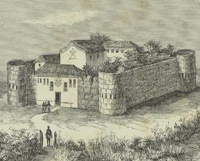
The Portuguese Empire was the longest European presence in Benin, beginning in 1680 and ending in 1961 when the last forces left Ajudá.
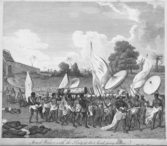
Dahomey Amazons with the King at their head, going to war, 1793.
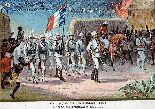
A French depiction of the conquest of Dahomey in 1893
Yayi Boni's 2006 presidential inauguration


