Waimakariri District is a local government district, located in the Canterbury Region of New Zealand's South Island. It is named after the Waimakariri River, which forms the district's southern boundary, separating it from Christchurch City and the Selwyn District. It is bounded in the north by the Hurunui District and in the east by the Pacific Ocean.
Council offices in Rangiora
Canterbury is a region of New Zealand, located in the central-eastern South Island. The region covers an area of 44,503.88 square kilometres (17,183.04 sq mi), making it the largest region in the country by area. It is home to a population of 666,300.
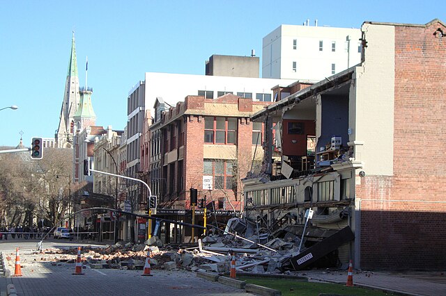
Building damage in Worcester Street, corner Manchester Street, with ChristChurch Cathedral in the background. (September 2010)
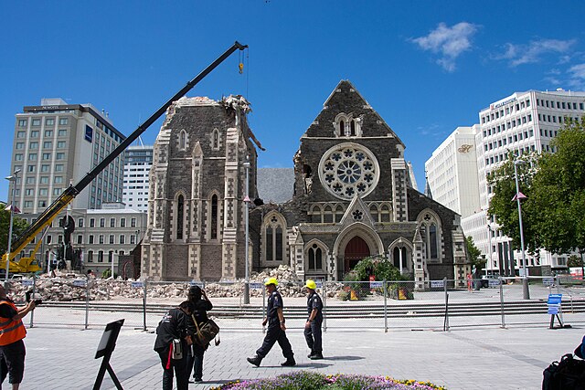
ChristChurch Cathedral showing the effects of the February 2011 earthquake (tower under demolition)
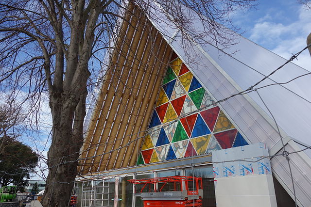
The Cardboard Cathedral in Christchurch opened in August 2013 as the transitional pro-cathedral for the Anglican Diocese of Christchurch. Anglicans make up 14.8 percent of Canterbury's population.
Crossing the Macauley River, Lilybank Station, Canterbury, New Zealand, 1977.