Wainuiomata is a large dormitory suburb of Lower Hutt, in the Wellington metropolitan area in New Zealand. Its population was estimated as being 19,840 as of June 2023, with a density of 1,600 people per km2. European settlement of Wainuiomata began in the 1850s with timber-felling and farming and began to grow in the 1920s. After World War 2 there was rapid population expansion, with Wainuiomata earning the nickname 'Nappy Valley' because of the large number of families with young children. From the late 1980s the economy slowed and the population decreased, but since about 2020 there has been a housing boom and corresponding increase in population. Wainuiomata is noted for being the origin of New Zealand's kōhanga reo movement.
A view of Wainuiomata as seen from above Sunny Grove looking North.
A 360 degree panorama taken 400 feet above the Wanuiomata hills. Wellington Harbour can be seen on the far left, with Petone and the Hutt Valley towards the middle of the image. The Wainuiomata Hill road can be seen curling around the bottom right of the image as it snakes into the suburb of Wainuiomata on the right hand side.
Lower Hutt is a city in the Wellington Region of New Zealand. Administered by the Hutt City Council, it is one of the four cities that constitute the Wellington metropolitan area.
Lower Hutt from the air, looking eastwards in March 2009
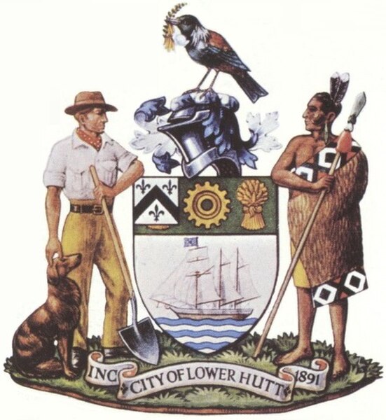
Coat of arms
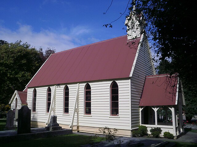
Christ Church, Taitā, built in 1853 – the oldest extant church in the Wellington region
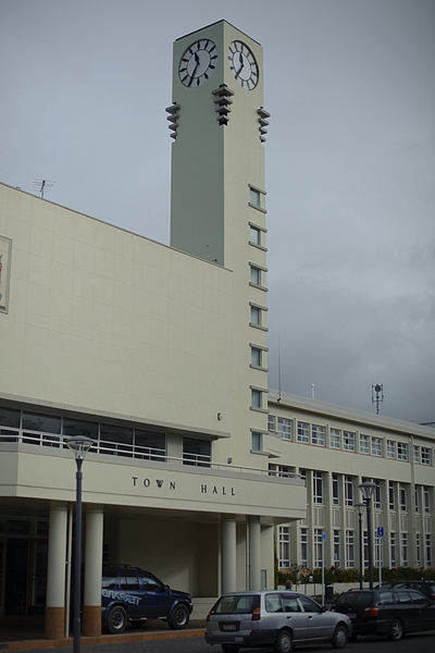
2011 photo of the Lower Hutt town hall


