Walcha Shire
Videos
Page
Walcha Shire is a local government area located in the New England region of New South Wales, Australia. The Shire is situated adjacent to the junction of the Oxley Highway and Thunderbolts Way and is 20 kilometres (12 mi) east of the Main North railway line passing through Walcha Road. The shire was formed on 1 June 1955 through the amalgamation of Apsley Shire and the Municipality of Walcha.

Walcha Shire Council
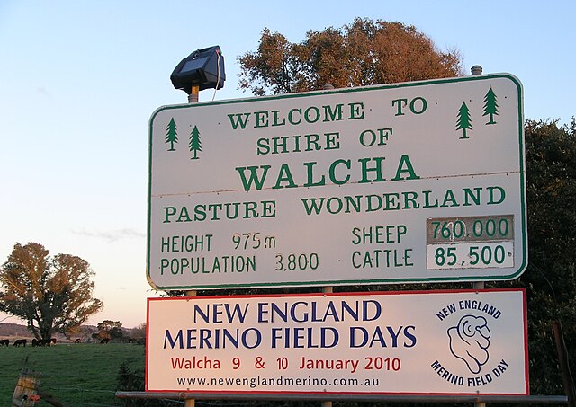
Welcome sign near the Shire boundary.
New England (New South Wales)
Videos
Page
New England is a geographical region in the north of the state of New South Wales, Australia, about 60 km inland from the Tasman Sea. The area includes the Northern Tablelands and the North West Slopes regions. As of 2021, New England had a population of 185,560, with over a quarter of the people living in the area of Tamworth Regional Council.
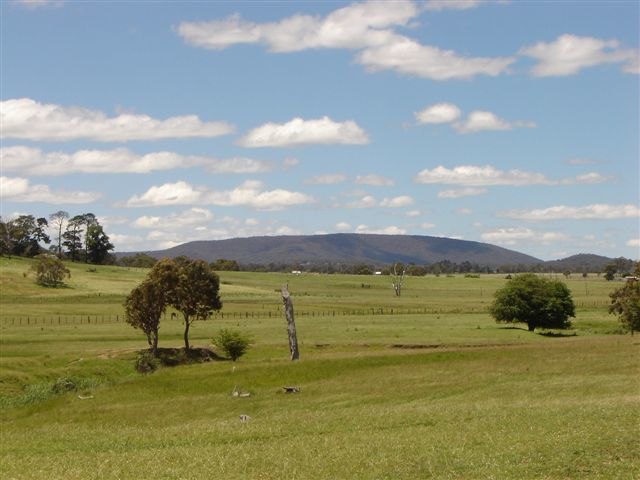
View of Mount Duval with farms in the foreground
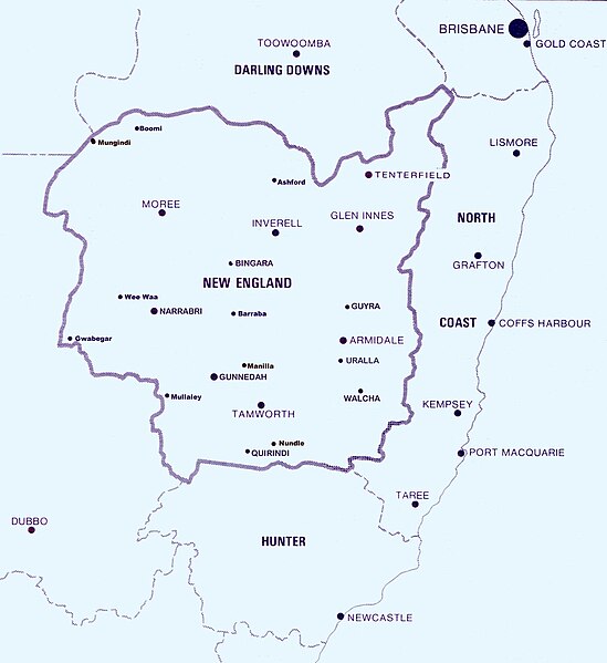
Approximate boundaries of the New England North West region within New South Wales

Bingara Court House in the town of Bingara

The Australian Equine and Livestock Events Centre