The Wasgau is a Franco-German hill range in the German state of Rhineland-Palatinate and the French departments of Bas-Rhin and Moselle. It is formed from the southern part of the Palatine Forest and the northern part of the Vosges mountains, and extends from the River Queich in the north over the French border to the Col de Saverne in the south.
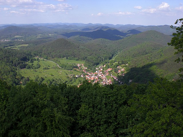
Typical Wasgau countryside with conical hills and plains: view looking southwest from Rehberg
The small-scale structure of the Wasgau: View from the Hohenburg looking north
A former timber rafting weir on the Wieslauter at a splash dam north of Dahn
The Hanauer Weiher with Waldeck Castle in the background
The Palatinate Forest, sometimes also called the Palatine Forest, is a low-mountain region in southwestern Germany, located in the Palatinate in the state of Rhineland-Palatinate. The forest is a designated nature park covering 1,771 km2 and its highest elevation is the Kalmit.
Hardenburg Castle near Bad Dürkheim
Lake Eiswoog, Ramsen
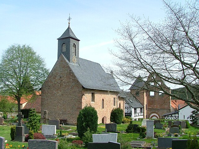
St. James' Church, ruins of Höningen Abbey (1120-1569)
Highest peak: Kalmit (673 m)