Washington State Route 542
State Route 542 (SR 542) is a 57.24-mile-long (92.12 km) state highway in the U.S. state of Washington, serving Mount Baker in Whatcom County. SR 542 travels east as the Mount Baker Highway from an interchange with Interstate 5 (I-5) in Bellingham through the Nooksack River valley to the Mt. Baker Ski Area at Austin Pass. It serves as the main highway to Mount Baker and the communities of Deming, Kendall, and Maple Falls along the Nooksack River. The highway was constructed in 1893 by Whatcom County as a wagon road between Bellingham and Maple Falls and was added to the state highway system as a branch of State Road 1 in 1925. The branch was transferred to Primary State Highway 1 (PSH 1) during its creation in 1937 and became SR 542 during the 1964 highway renumbering.
Table Mountain reflected in roadside pond near Austin Pass
Whatcom County, Washington
Whatcom County is a county located in the northwestern corner of the U.S. state of Washington, bordered by the Lower Mainland of British Columbia to the north, Okanogan County to the east, Skagit County to the south, San Juan County across Rosario Strait to the southwest, and the Strait of Georgia to the west. Its county seat and largest population center is the coastal city of Bellingham, comprising the Bellingham, WA Metropolitan Statistical Area, and as of the 2020 census, the county's population was 226,847.
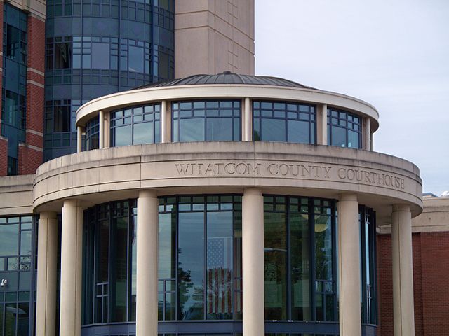
Whatcom County Courthouse in Bellingham
Sign at county boundary, 1970
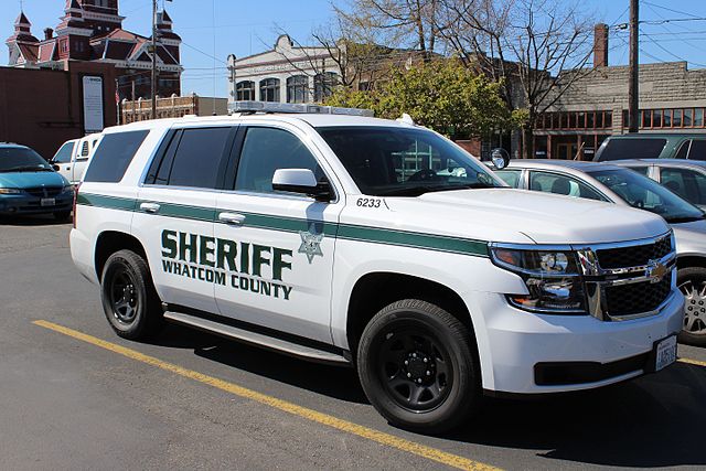
Sheriff's Department vehicle in Bellingham
A Whatcom County Sheriff's office vehicle pictured in 2015


