Waterview, New Zealand
Videos
Page
Waterview is a suburb of Auckland, New Zealand, located along the western side of Auckland's isthmus. Its boundaries are Oakley Creek in the east, Heron Park in the south, the Waitematā Harbour in the west, and the Northwestern Motorway and the Oakley Creek inlet in the north.

Waterview contains a variety of house styles, including a small number of Art Deco bungalows.

Waterview at the bottom left of the picture, with the Waterview Connection under construction in the middle and Pt Chevalier at the top
Auckland isthmus
Videos
Page
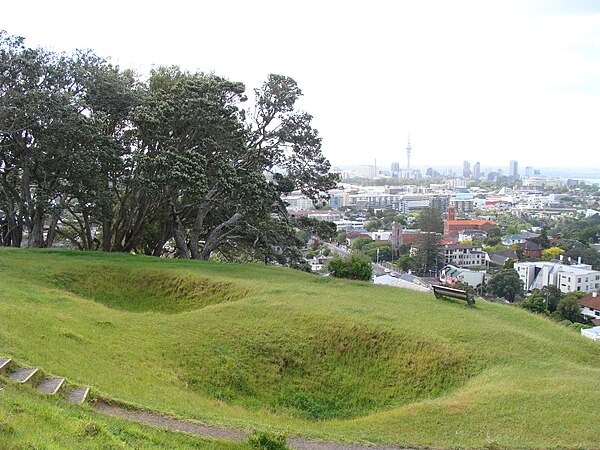
The Auckland isthmus, also known as the Tāmaki isthmus, is a narrow stretch of land on the North Island of New Zealand in the Auckland Region, and the location of the central suburbs of the city of Auckland, including the CBD. The isthmus is located between two rias : the Waitematā Harbour to the north, which opens to the Hauraki Gulf / Tīkapa Moana and Pacific Ocean, and the Manukau Harbour to the south, which opens to the Tasman Sea. The isthmus is the most southern section of the Northland Peninsula.

The Auckland isthmus seen from the International Space Station in 2019

Almorah Rock Forest, an ecosystem that once covered much of the Auckland isthmus (pictured: lava rock forest remnant at Withiel Thomas Reserve, Newmarket)

Wetlands and swamps surrounded by Cordyline australis (cabbage trees / tī kōuka) formed in many of the unforested areas of the isthmus (pictured: Cabbage Tree Swamp in Sandringham, circa 1910)
Kūmara (sweet potato) was widely grown on the isthmus during the pre-European period, and stored in rua kūmara (storehouses) (pictured: storehouse pit remnants on Ōhinerau)