Watford Gap
Videos
Watford Gap is a low-lying area between two hills, close to the village of Watford, Northamptonshire, England. Engineers from Roman times onwards have found it to be an ideal route for connecting the Midlands with South East England. The A5 road, the West Coast Main Line railway, the M1 motorway and a branch of the Grand Union Canal traverse in parallel a space about 400 metres (1,300 ft) wide. It has been written and spoken of as marking the divide between Northern England and Southern England.

Watford Gap: West Coast Main Line and M1 motorway in parallel

Grand Union Canal at Watford Gap.
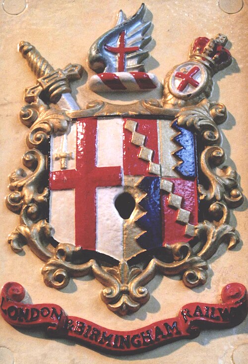
The London and Birmingham Railway (L&BR) was a railway company in the United Kingdom, in operation from 1833 to 1846, when it became part of the London and North Western Railway (L&NWR).

Making the embankment - Wolverton Valley (Great Ouse), 28 June 1837.

Plaque at Curzon Street station commemorating the arrival of the first train from London to Birmingham

Camden Town stationary steam engine chimneys and locomotive workshops in 1838.