West Auckland, New Zealand
West Auckland is one of the major geographical areas of Auckland, the largest city in New Zealand. Much of the area is dominated by the Waitākere Ranges, the eastern slopes of the Miocene era Waitākere volcano which was upraised from the ocean floor, and now one of the largest regional parks in New Zealand. The metropolitan area of West Auckland developed between the Waitākere Ranges to the west and the upper reaches of the Waitematā Harbour to the east. It covers areas such as Glen Eden, Henderson, Massey and New Lynn.
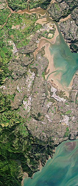
Metropolitan West Auckland captured by a Planet Labs satellite in 2016
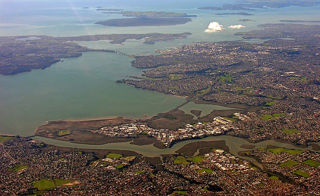
The Whau River has often been used as a border between western and central Auckland
The Waitākere rock koromiko, Veronica bishopiana, is endemic to the Waitākere Ranges
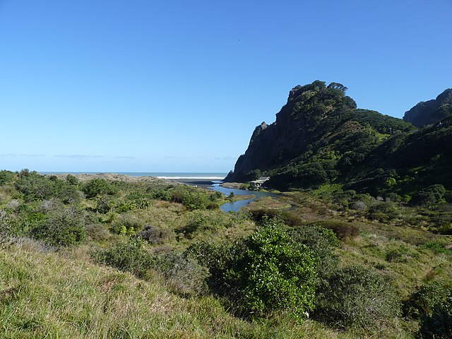
Many early settlements in West Auckland were along the west coast beaches (pictured: Karekare)
The Waitākere Ranges is a mountain range in New Zealand. Located in West Auckland between metropolitan Auckland and the Tasman Sea, the ranges and its foothills and coasts comprise some 27,720 hectares of public and private land. The area, traditionally known to Māori as Te Wao Nui o Tiriwa, is of local, regional, and national significance. The Waitākere Ranges includes a chain of hills in the Auckland Region, generally running approximately 25 kilometres (16 mi) from north to south, 25 km west of central Auckland. The ranges are part of the Waitākere Ranges Regional Park.
View of the Waitākere Ranges from Scenic Drive
Typical forest in the Waitākere Ranges
Kauri logs ready for transport in the upper Nihotupu Stream valley (1895)
The Waitākere Dam


