West End, Boston
Videos
Page
The West End is a neighborhood of Boston, Massachusetts, United States, bounded generally by Cambridge Street to the south, the Charles River to the west and northwest, North Washington Street on the north and northeast, and New Sudbury Street on the east. Beacon Hill is to the south, North Point is across the Charles River to the north, Kendall Square is across the Charles River to the west, and the North End is to the east. A late 1950s urban renewal project razed a large Italian and Jewish enclave and displaced over 20,000 people in order to redevelop much of the West End and part of the neighboring Downtown neighborhood. After that, the original West End became increasingly non-residential, including part of Government Center as well as much of Massachusetts General Hospital and several high rise office buildings. More recently, however, new residential buildings and spaces, as well as new parks, have been appearing across the West End.

2007 view from the west, with former Charles Street Jail buildings at right

The first house Charles Bulfinch designed for Harrison Gray Otis in the West End.
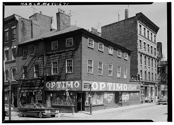
Green Street, 1959

One of the few buildings (known as "The Last Tenement House") to survive the urban renewal of Boston's West End, 42 Lomasney Way, stands in one of the Super Blocks that was created by that project
Neighborhoods in Boston
Videos
Page
Boston's diverse neighborhoods serve as a political and cultural organizing mechanism. The City of Boston's Office of Neighborhood Services has designated 23 Neighborhoods in the city:

Aerial view of the Back Bay and the neighboring City of Cambridge across the Charles River

General view of Bay Village
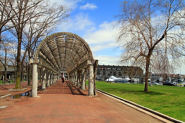
Christopher Columbus Park in Downtown Waterfront
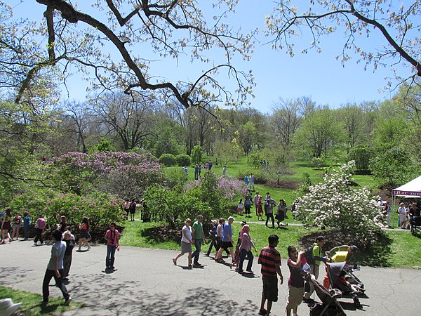
Lilac Sunday, Arnold Arboretum, Jamaica Plain