Westerwald
Videos
The Westerwald is a low mountain range on the right bank of the river Rhine in the German federal states of Rhineland-Palatinate, Hesse and North Rhine-Westphalia. It is a part of the Rhenish Massif. Its highest elevation, at 657 m above sea level, is the Fuchskaute in the High Westerwald.

The Westerwald near Arborn (Greifenstein)

View of the northern Westerwald from the Otto Turm at Herkersdorf/Kirchen

Panorama of the Westerwald seen from Bad Marienberg

Basalt columns at the Hummelsberg
Siegen
Videos
Siegen is a city in Germany, in the south Westphalian part of North Rhine-Westphalia.

Upper town

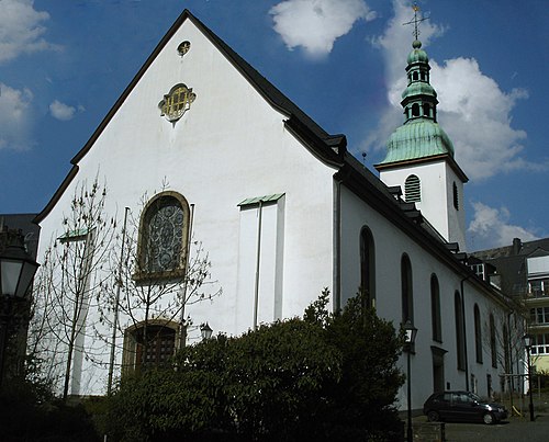
Nikolaikirche with a "coronet"
Marienkirche

Siegen pedestrian zone