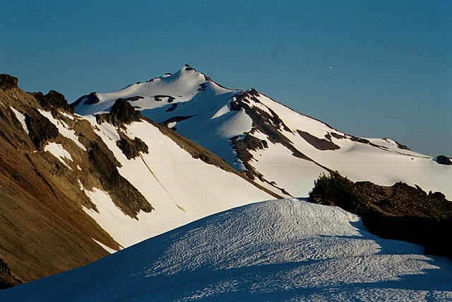
White Pass is a mountain pass in the northwest United States, in the Cascade Range of Washington, southeast of Mount Rainier and north of Goat Rocks. U.S. Highway 12 travels over White Pass, connecting Yakima County on the east with Lewis County. It was named after Charles A. White, a surveying engineer who led the party that discovered it for the Northern Pacific Railroad in 1878.
U.S. 12 through White Pass. Spiral Butte is visible on the left.
Goat Rocks is an extinct stratovolcano in the Cascade Range, located between Mount Rainier and Mount Adams in southern Washington, in the United States. Part of the Cascade Volcanoes, it was formed by the subduction of the Juan de Fuca Plate under the western edge of the North American Plate. The volcano was active from 3.2 million years ago until eruptions ceased between 1 and 0.5 million years ago. Throughout its complex eruptive history, volcanism shifted from silicic explosive eruptions to voluminous, mafic activity.
The Goat Rocks, with Gilbert Peak at upper left
Old Snowy Mountain from the north, with the snow-covered McCall and Packwood Glaciers flanking the peak
Goat Ridge. The base of Mount Adams is visible.
Goat Rocks with Mt. Rainier in background


