White Waltham is a village and civil parish, 3.5 miles (6 km) west of Maidenhead, in the Royal Borough of Windsor and Maidenhead in Berkshire, England. It is crossed briefly by the M4 motorway, which along with the Great Western Main Line and all other roads covers 0.267 square kilometres (0.103 sq mi) of the parish and 'greenspace' which includes cultivated fields covers the most part - this covered 9.421 square kilometres (3.637 sq mi). White Waltham Airfield is in the parish.
Waltham Place
Maidenhead is a market town in the Royal Borough of Windsor and Maidenhead in the county of Berkshire, England, on the southwestern bank of the River Thames. In the 2021 Census, it had an estimated population of 70,374 and forms part of the border with southern Buckinghamshire. The town is situated 27 miles (43 km) west of Charing Cross, London and 13 miles (21 km) east-northeast of the county town of Reading. The town differs from the Parliamentary constituency of Maidenhead, which includes a number of outer suburbs and villages, including villages which form part of the Borough of Wokingham such as Twyford, Charvil, Remenham, Ruscombe and Wargrave.
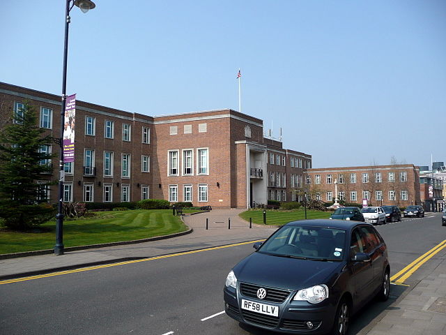
Image: Maidenhead Town Hall
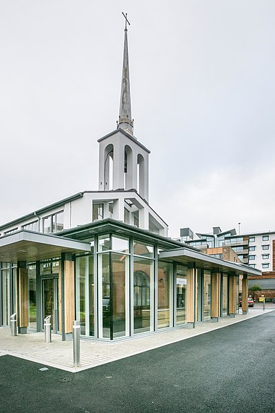
Image: St Mary's Church, Maidenhead, Jan 2018
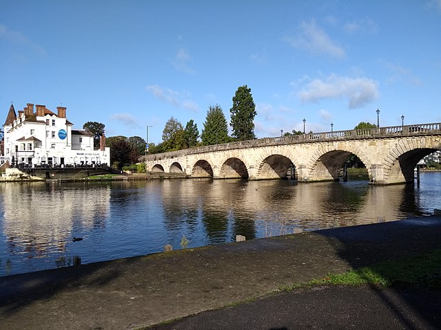
Image: Maidenhead Bridge on the boundary walk by Maidenhead in Pictures
Image: Maidenhead Mosque geograph.org.uk 3607593


