Wild Rice River (North Dakota)
The Wild Rice River is a tributary of the Red River of the North, approximately 251 miles (404 km) long, in southeastern North Dakota in the United States. Via the Red River, Lake Winnipeg, and the Nelson River, it is part of the watershed of Hudson Bay. The Wild Rice River drains an area of 2,233 square miles (5,780 km2) in the Red River Valley region. Its tributaries also drain a small part of northeastern South Dakota. Despite its length, it is a fairly small stream, flowing at an average rate of approximately 100 cubic feet per second (3 m³/s).
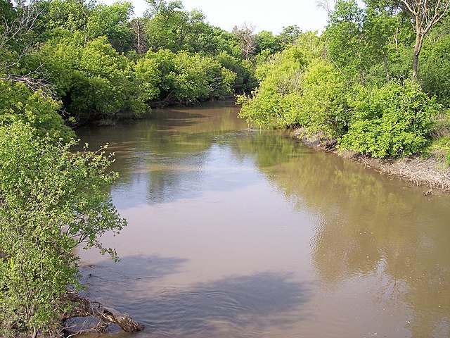
The Wild Rice River near Abercrombie in 2007
The Wild Rice River near Abercrombie in 2007
The Red River, also called the Red River of the North to differentiate it from the Red River in the south of the continent, is a river in the north-central United States and central Canada. Originating at the confluence of the Bois de Sioux and Otter Tail rivers between the U.S. states of Minnesota and North Dakota, it flows northward through the Red River Valley, forming most of the border of Minnesota and North Dakota and continuing into Manitoba. It empties into Lake Winnipeg, whose waters join the Nelson River and ultimately flow into Hudson Bay.
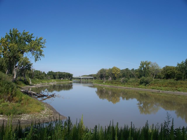
The Red River in Fargo–Moorhead, as viewed from the Fargo side of the river
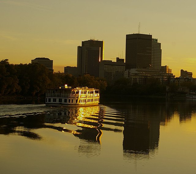
Red River in Winnipeg, Manitoba
The Red River in Greater Grand Forks, as viewed from the Grand Forks side of the river
The Red River near Pembina, North Dakota, about 3 kilometres (2 mi) south of the Canada–U.S. border. The Pembina River can be seen flowing into the Red at the bottom.


