Wormshill
Videos
Photos
Wormshill, historically Wormsell, is a small village and civil parish within the Borough of Maidstone, Kent, England. The parish is approximately 7 miles (11 km) south of the Swale and 8 mi (13 km) east of Maidstone. The village of Frinsted lies 0.6 mi (1 km) to the east and Bicknor 1+1⁄2 mi (2.4 km) to the north-west; while Hollingbourne is 3 mi (5 km) to the south-west. The village lies on an exposed high point of the North Downs, within the Kent Downs Area of Outstanding Natural Beauty.

St Giles’ Church, Wormshill

Road sign with the village's name

Aerial view of The Street taken on 16 April 1948. The rectory is in the foreground.

View north up The Street after the unusual heavy snowfall of March 2005
Borough of Maidstone
Videos
Photos
The Borough of Maidstone is a local government district with borough status in Kent, England. Its administrative centre is Maidstone, the county town of Kent.

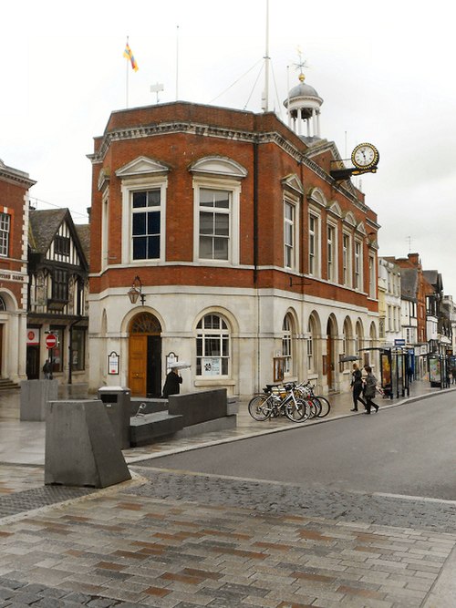
Jubilee Square, Maidstone
Borough of Maidstone

Maidstone House, King Street, Maidstone: Council's offices.