Xingu–Tocantins–Araguaia moist forests
The Xingu–Tocantins–Araguaia moist forests (NT0180) is an ecoregion in the eastern Amazon basin. It is part of the Amazon biome.
The ecoregion is one of the most severely degraded of the Amazon region, suffering from large-scale deforestation and selective extraction of timber, particularly along the Trans-Amazonian Highway and in the higher and more populated southern portions.
Harpy eagle in Carajás National Forest
Snake of genus Chironius in Carajás
Carajás Mine in the Carajás Mountains
The Amazon biome contains the Amazon rainforest, an area of tropical rainforest, and other ecoregions that cover most of the Amazon basin and some adjacent areas to the north and east. The biome contains blackwater and whitewater flooded forest, lowland and montane terra firma forest, bamboo and palm forest, savanna, sandy heath and alpine tundra. Some areas of the biome are threatened by deforestation for timber and to make way for pasture or soybean plantations.
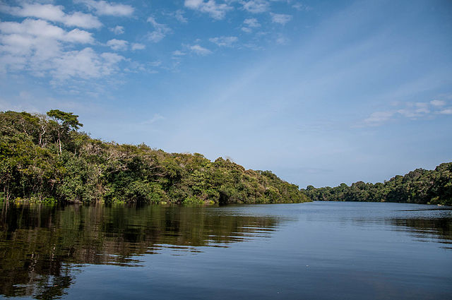
Anavilhanas National Park, Amazonas, Brazil
Cerros de Mavecure in the Guiana Shield in Colombia
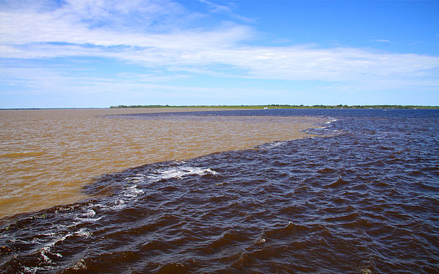
White water of the Solimões and black water of the Rio Negro converge to form the Amazon River
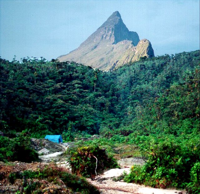
Pico da Neblina on the Brazil–Venezuela border. The Pico da Neblina National Park has a variety of ecosystems.