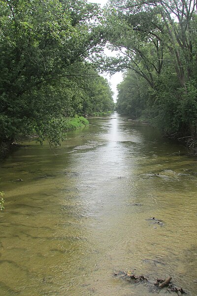
The Yellow River is a 62.3-mile-long (100.3 km) tributary of the Kankakee River in the Central Corn Belt Plains ecoregion, located in northern Indiana in the United States. Via the Kankakee and Illinois rivers, it is part of the watershed of the Mississippi River, draining an area of 427 square miles (1,110 km2).
The Yellow River got its name from the sandy bottom.
The Yellow River in Plymouth in 2006
The Kankakee River is a tributary of the Illinois River, approximately 133 miles (214 km) long, in the Central Corn Belt Plains of northwestern Indiana and northeastern Illinois in the United States. At one time, the river drained one of the largest wetlands in North America and furnished a significant portage between the Great Lakes and the Mississippi River. Significantly altered from its original channel, it flows through a primarily rural farming region of reclaimed cropland, south of Lake Michigan.
View of the river from Kankakee, Illinois, near Cobb Park
Sandy shore along the Kankakee River, three miles (4.8 km) west of Illinois–Indiana state line
Fisherman beside dam on the Kankakee River at Momence, Illinois, on the north bank, looking southwest
Headwaters of the Kankakee (US 20/US 31 at Prairie Avenue exit)


