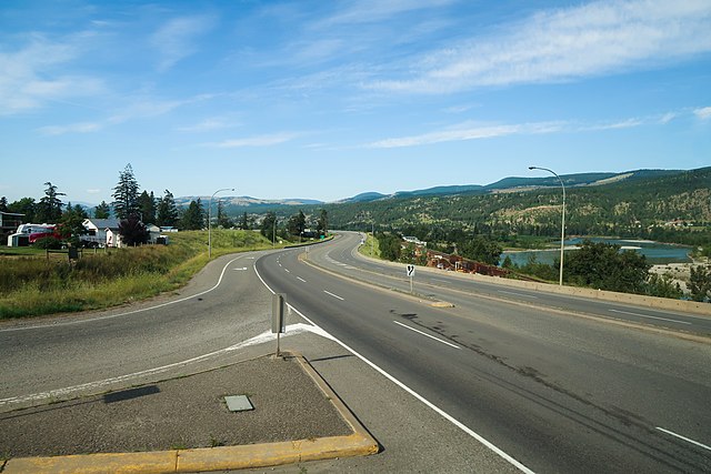
The Yellowhead Highway is a major interprovincial highway in Western Canada that runs from Winnipeg to Graham Island off the coast of British Columbia via Saskatoon and Edmonton. It stretches across the four western Canadian provinces of British Columbia, Alberta, Saskatchewan, and Manitoba and is part of the Trans-Canada Highway system and the larger National Highway System, but should not be confused with the more southerly, originally-designated Trans-Canada Highway. The highway was officially opened in 1970. Beginning in 1990, the green and white Trans-Canada logo is used to designate the roadway.
Southern Yellowhead Highway near Heffley Creek, British Columbia
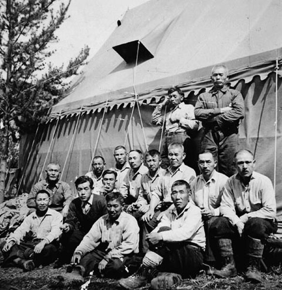
A road crew of interned Japanese Canadian men constructing a highway through the Yellowhead Pass in 1942 – later a namesake stretch of the Yellowhead Highway
Yellowhead Highway sign
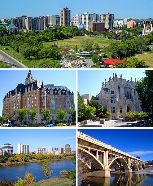
Saskatoon is the largest city in the Canadian province of Saskatchewan. It straddles a bend in the South Saskatchewan River in the central region of the province. It is located along the Trans-Canada Yellowhead Highway, and has served as the cultural and economic hub of central Saskatchewan since its founding in 1882 as a Temperance colony.
From top, left to right: Central Saskatoon, the Delta Bessborough hotel, the University of Saskatchewan, Downtown from the Meewasin trail, and the Broadway Bridge.
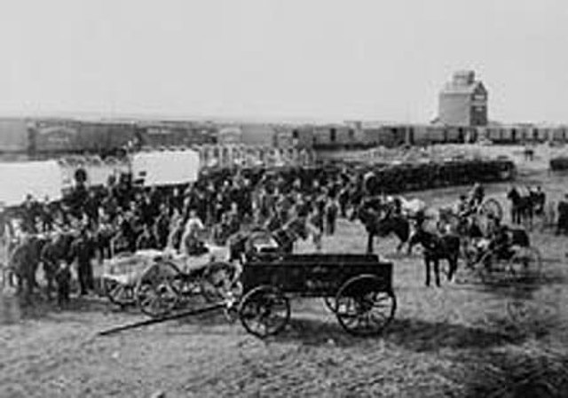
Barr Colonists in Saskatoon in 1903. The settlement of Saskatoon saw an economic boom when the travelling Barr Colonists encamped around the community.
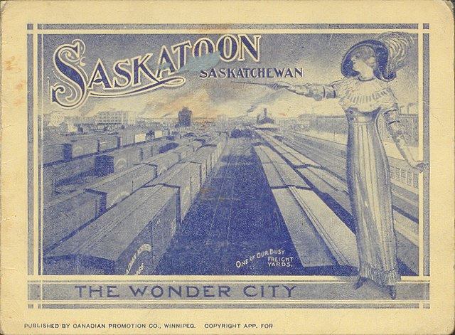
Small booklet depicting a woman standing over a busy trainyard in Saskatoon (Source: https://archive.org/details/prairiepromisespostcard_109)
View of the Aspen parkland outside the city limits. The area is a transitional biome between the boreal forest and prairies.