Zagori, is a region, a municipality, and a designated UNESCO World Heritage Site, in the Pindus mountains in Epirus, in northwestern Greece. The seat of the municipality is the village Asprangeloi. It has an area of some 1,000 square kilometres (390 sq mi) and contains 46 villages known as Zagori villages, and is in the shape of an upturned equilateral triangle. Ioannina, the provincial capital, is at the southern point of the triangle, while the south-western side is formed by Mount Mitsikeli (1,810m). The Aoos river running north of Mt Tymphe forms the northern boundary, while the south-eastern side runs along the Varda river to Mount Mavrovouni (2,100m) near Metsovo. The municipality has an area of 989.796 km2. The population of the area is about 3,400, which gives a population density of 3.4 inhabitants per square kilometer, very sparse when compared to an average of 73.8 for Greece as a whole.
Kokori's bridge in Vikos-Aoos National Park
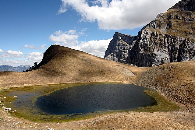
Dragonlake and Gamila summit (2497m.)
Voidomatis river, Vikos-Aoos National Park.
Monastery of Saint Paraskevi.
The Pindus is a mountain range located in Northern Greece and Southern Albania. It is roughly 160 km long, with a maximum elevation of 2,637 metres (8652'). Because it runs along the border of Thessaly and Epirus, the Pindus range is known colloquially as the spine of Greece. The mountain range stretches from near the Greek-Albanian border in southern Albania, entering the Epirus and Macedonia regions in northern Greece down to the north of the Peloponnese. Geologically, it is an extension of the Dinaric Alps, which dominate the western region of the Balkan Peninsula.
Pindus in Epirus - The village of Anthochori resting beneath the east face of Kalogiros peak, Lakmos Mountain.
Aspropotamos valley and Milia village in Trikala regional unit
Parts of Southern Pindus
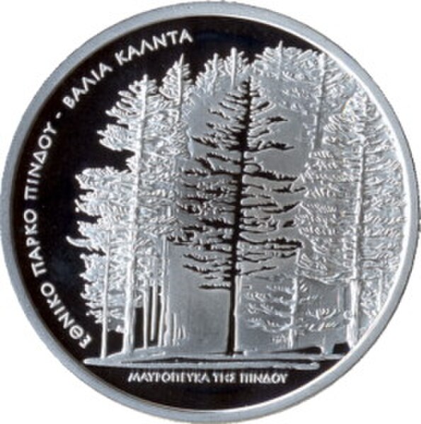
Black Pine Trees commemorative coin


