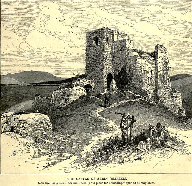
Zir'in was a Palestinian Arab village of over 1,400 in the Jezreel Valley, located 11 kilometers (6.8 mi) north of Jenin. Identified as the ancient town of Yizre'el (Jezreel), it was known as Zir'in during Islamic rule, and was near the site of the Battle of Ain Jalut, in which the Mamluks halted Mongol expansion southward. Under the Ottomans, it was a small village, expanding during the British Mandate in the early 20th century. After its capture by Israel in 1948, Zir'in was destroyed. The Israeli kibbutz of Yizre'el was established shortly after on the village lands of Zir'in.
The Tower House of Zir'in, by Felix Bonfils, before 1885.
General view of Zir'in with its mosque in background, 1918
Zir'in, after occupation, on 30 January 1949
The Tower House, early 1880s
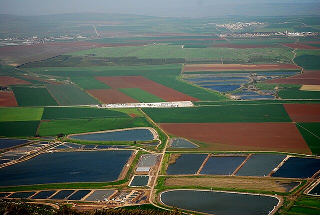
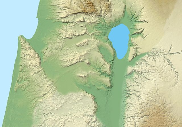
The Jezreel Valley, or Marj Ibn Amir, also known as the Valley of Megiddo, is a large fertile plain and inland valley in the Northern District of Israel. It is bordered to the north by the highlands of the Lower Galilee region, to the south by the Samarian highlands, to the west and northwest by the Mount Carmel range, and to the east by the Jordan Valley, with Mount Gilboa marking its southern extent. The largest settlement in the valley is the city of Afula, which lies near its center.
Agriculture in the Jezreel Valley
Image: Jezreel Valley 2
Jezreel Valley and Mount Tabor
Jezreel Valley