Amravati district is a district of Maharashtra state in central India. It is the administrative headquarter of Amravati division, which is one of the two divisions in Vidarbha, out of total 6 regions in state of Maharashtra.
Amravati district
Image: A view of Gulaba Baba Ashram Takarkheda
Image: Upper Wardha Dam
Image: Chamak Khurd
Vidarbha is a geographical region in the east of the Indian state of Maharashtra and a proposed state of western India, comprising the state's Amravati and Nagpur divisions. Amravati Division's former name is Berar. It occupies 31.6% of the total area and holds 21.3% of the total population of Maharashtra. It borders the state of Madhya Pradesh to the north, Chhattisgarh to the east, Telangana to the south and Marathwada and Uttar Maharashtra regions of Maharashtra to the west. Situated in central India. The largest city in Vidarbha is Nagpur followed by Amravati, Akola, Chandrapur and Gondia. A majority of Vidarbha residents speak Varhadi and Zadi dialects of Marathi.
Coin of the Vidarbhas of the Deccan. Uncertain ruler. (1st century BCE) Obv Linear cross with each arm terminating in pellet-in-annulet. Rev Tree in railing.
Coin of King Jagadeva of the Paramaras of Vidarbha, 12th–13th centuries CE.
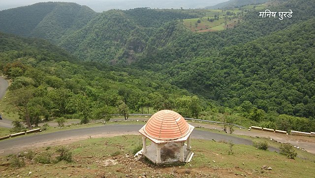
Chikhaldara is the only hill station in Vidharbha
Wainganga river near Bhandara district