Boundary Waters Canoe Area Wilderness
Videos
Page
The Boundary Waters Canoe Area Wilderness comprises 1,090,000 acres (440,000 ha) of pristine forests, glacial lakes, and streams in the Superior National Forest. Located entirely within the U.S. state of Minnesota at the Boundary Waters, the wilderness area is under the administration of the United States Forest Service. Efforts to preserve the primitive landscape began in the 1900s and culminated in the Boundary Waters Canoe Area Wilderness Act of 1978. The area is a popular destination for canoeing, hiking, and fishing, and is the most visited wilderness in the United States.
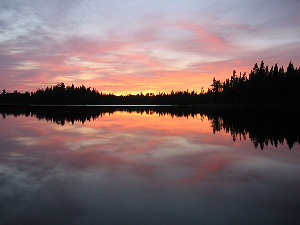
Sunset over Pose Lake, a small lake accessible only by foot.

An eastern white pine growing on glacially scoured bedrock, Nina Moose Lake

Smoke from the 2011 Pagami Creek Fire

Common loon
Superior National Forest
Videos
Page
Superior National Forest, part of the United States National Forest system, is located in the Arrowhead Region of the state of Minnesota between the Canada–United States border and the north shore of Lake Superior. The area is part of the greater Boundary Waters region along the border of Minnesota and the Canadian province of Ontario, a historic and important thoroughfare in the fur trading and exploring days of New France and British North America.

This view from Eagle Mountain shows features of a peneplain; even in an area of significant local relief, the distant horizon is relatively flat.

A bull moose in the park.

Eagle Mountain, the highest natural point in Minnesota at 2,301 feet (701 m) is located in the Superior National Forest.