California State Route 138
Videos
Page
State Route 138 is an east–west state highway in the U.S. state of California that generally follows the northern foothills of the San Gabriel Mountains and the western Mojave Desert. The scenic highway begins in the west at its junction with Interstate 5 located south of Gorman in the Sierra Pelona Mountains, continues eastward through the Antelope Valley and Cajon Pass, to its junction with State Route 18 in the east, located in the San Bernardino Mountains south of Crestline.

Scenery of Pearblossom Highway feat. Yucca brevifolia
San Gabriel Mountains
Videos
Page
The San Gabriel Mountains comprise a mountain range located in northern Los Angeles County and western San Bernardino County, California, United States. The mountain range is part of the Transverse Ranges and lies between the Los Angeles Basin and the Mojave Desert, with Interstate 5 to the west and Interstate 15 to the east. The range lies in, and is surrounded by, the Angeles and San Bernardino National Forests, with the San Andreas Fault as its northern border.
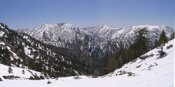
Summits in the eastern San Gabriel Mountains, Angeles National Forest, San Bernardino County, California. The main peaks are: Telegraph Peak 8,985 feet (2,739 m) (left), Cucamonga Peak, 8,859 feet (2,700 m) (center), and Ontario Peak 8,693 feet (2,650 m) (center right), as seen from Baldy Bowl on Mount Baldy.

Image: Wpdms shdrlfi 020l san gabriel mountains

East Fork San Gabriel River canyon, looking west.
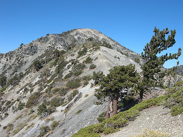
Mount Harwood, from Devils Backbone