Canterbury-Bankstown
Videos
Page
Canterbury-Bankstown is a customary region of Sydney, Australia, in Inner South-Western Sydney. The region is located to the north of the St George region and to the south of the Inner West region. The suburbs of the Canterbury-Bankstown region are not specific to the local government area of the City of Canterbury-Bankstown, but includes many of them. The Bankstown railway line serves many of the suburbs in this region.

Bankstown is the civic and commercial hub of Canterbury-Bankstown

Australia's air defence headquarters during WW2, Bankstown Bunker, also known as No. 1 Fighter Sector RAAF

Residential housing in Punchbowl
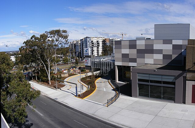
Bankstown Central is the largest shopping centre in Canterbury-Bankstown
St George, Sydney
Videos
Page
The St George region of Sydney is part of the southern suburbs of Sydney, in the state of New South Wales, Australia. The area includes all the suburbs in the local government area of Georges River Council and the part of Bayside Council which was Rockdale City prior to 2016. This is everything within the boundaries of Salt Pan Creek to the west, The Georges River to the south, Botany Bay to the east and the M5 Motorway and Wolli Creek to the north. This area corresponds to the southern portion of the cadastral Parish of St George, from which the region derives its name and the area was later covered by the St George County Council, the electricity supplier for the councils in this region. This southern portion of the parish below The M5 and Wolli Creek is the more contemporary definition of The St George Region that is considered part of Southern Sydney.

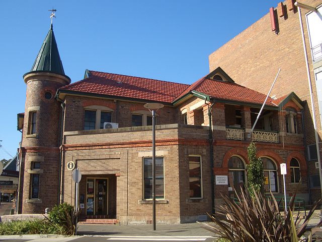
Rockdale Town Hall
Kogarah Community Centre
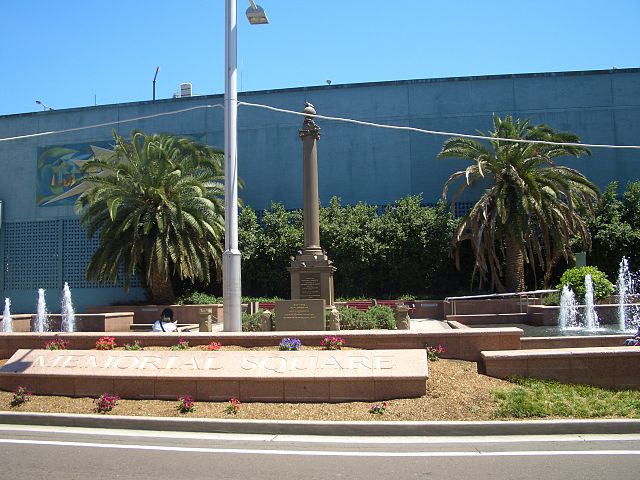
Memorial Square, Hurstville
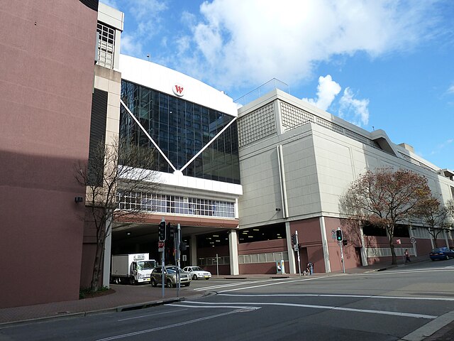
Westfield Hurstville