Darling Scarp
Videos
Page
The Darling Scarp, also referred to as the Darling Range or Darling Ranges, is a low escarpment running north–south to the east of the Swan Coastal Plain and Perth, Western Australia. The escarpment extends generally north of Bindoon, to the south of Pemberton. The adjacent Darling Plateau goes easterly to include Mount Bakewell near York and Mount Saddleback near Boddington. It was named after the Governor of New South Wales, Lieutenant-General Ralph Darling.
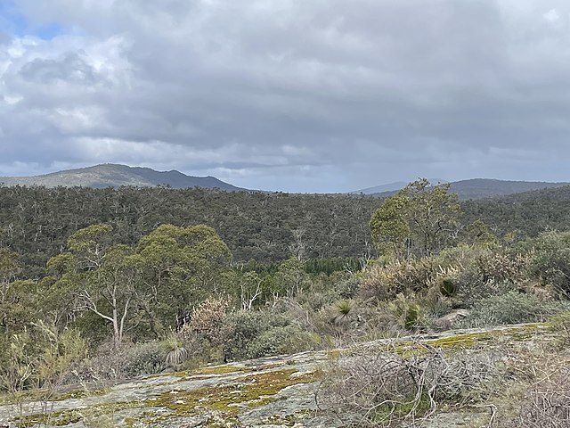
Darling Scarp as viewed from Sullivan Rock (September 2022)
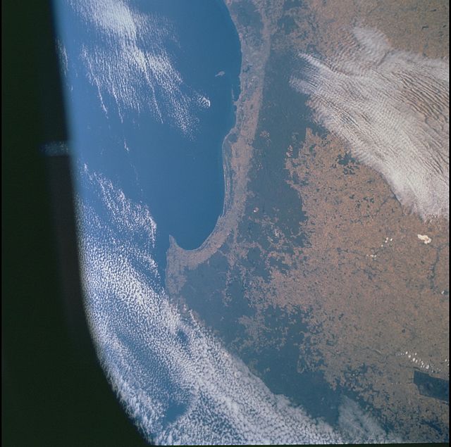
Southwest Western Australia from space. The dark green is dense vegetation on and above the scarp, which has been retained for forest reserve and water catchment purposes. The sharp vegetation boundary on the coastal side coincides with the edge of the scarp.
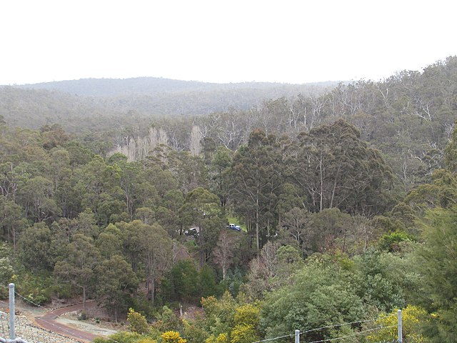
Darling scarp from Serpentine Dam
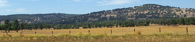
Darling scarp from South West Highway between Armadale and Pinjarra
Escarpment
Videos
Page
An escarpment is a steep slope or long cliff that forms as a result of faulting or erosion and separates two relatively level areas having different elevations.

Shaded and colored image from the Shuttle Radar Topography Mission—shows an elevation model of New Zealand's Alpine Fault running about 500 km (300 mi) long. The escarpment is flanked by a chain of hills squeezed between the fault and the mountains of New Zealand's Southern Alps. Northeast is towards the top.

The Sierra Escarpment in California