Embarcadero (San Francisco)
Videos
Page
The Embarcadero is the eastern waterfront of Port of San Francisco and a major roadway in San Francisco, California. It was constructed on reclaimed land along a three mile long engineered seawall, from which piers extend into the bay. It derives its name from the Spanish verb embarcar, meaning "to embark"; embarcadero itself means "the place to embark." The Central Embarcadero Piers Historic District was added to the National Register of Historic Places on November 20, 2002.

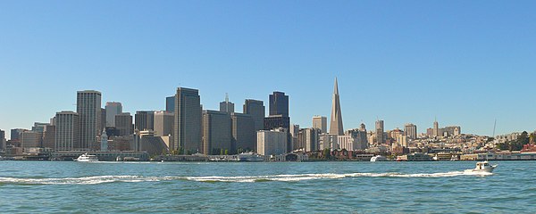
The Embarcadero photographed from southeast, with the Ferry Building to the right and Alcatraz Island in the distance.
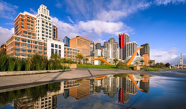
Rincon Park and Cupid's Span with the San Francisco skyline and The Embarcadero in the background.
View from the bay 2007
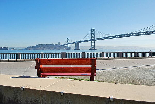
View of Yerba Buena Island and Bay Bridge
Port of San Francisco
Videos
Page
The Port of San Francisco is a semi-independent organization that oversees the port facilities at San Francisco, California, United States. It is run by a five-member commission, appointed by the Mayor and approved by the Board of Supervisors. The Port is responsible for managing the larger waterfront area that extends from the anchorage of the Golden Gate Bridge, along the Marina district, all the way around the north and east shores of the city of San Francisco including Fisherman's Wharf and the Embarcadero, and southward to the city line just beyond Candlestick Point. In 1968, the State of California, via the California State Lands Commission for the State-operated San Francisco Port Authority, transferred its responsibilities for the Harbor of San Francisco waterfront to the City and County of San Francisco / San Francisco Harbor Commission through the Burton Act AB2649. All eligible State port authority employees had the option to become employees of the City and County of San Francisco to maintain consistent operation of the Port of San Francisco.

Port Headquarters Pier 1

San Francisco in 1849

San Francisco Harbor in 1851

Belt Railroad #25 south of the Bay Bridge in 1985