Great Barrier Island
Videos
Page
Great Barrier Island lies in the outer Hauraki Gulf, New Zealand, 100 kilometres (62 mi) north-east of central Auckland. With an area of 285 square kilometres (110 sq mi) it is the sixth-largest island of New Zealand and fourth-largest in the main chain. Its highest point, Mount Hobson, is 627 metres (2,057 ft) above sea level. The local authority is the Auckland Council.

Kaitoke Beach in the east of Great Barrier Island. The "White Cliffs" can be seen in the front right.

A kauri driving dam on Great Barrier Island, 1967. Logging was one of the early industries on the island, and this dam provided enough water to drive kauri logs 16 km (10 mi) to the sea.

The sawmill at Whangaparapara, c. 1910

Great Barrier Island pigeon post stamp
Hauraki Gulf
Videos
Page
The Hauraki Gulf / Tīkapa Moana is a coastal feature of the North Island of New Zealand. It has an area of 4000 km2, and lies between, in anticlockwise order, the Auckland Region, the Hauraki Plains, the Coromandel Peninsula, and Great Barrier Island. Most of the gulf is part of the Hauraki Gulf Marine Park.
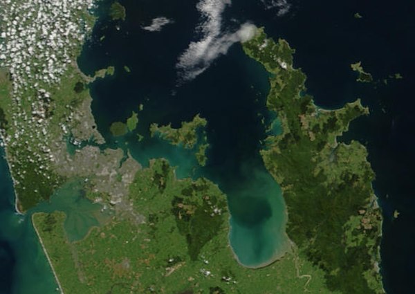
True-colour image showing the Hauraki Gulf / Tīkapa Moana, with Auckland (left) and the Coromandel Peninsula (right), by NASA's Terra satellite, 2002.

Sunset view of The Noises viewed from Waiheke Island
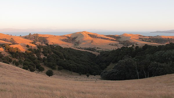
Farmland and native bush on Ponui Island

An orca swims in Waitematā Harbour, with Auckland CBD in the background.