The Kennebecasis River is a tributary of the Saint John River in southern New Brunswick, Canada. The name Kennebecasis is thought to be derived from the Mi'kmaq "Kenepekachiachk", meaning "little long bay place." It runs for approximately 95 kilometres, draining an area in the Caledonia Highlands, an extension of the Appalachian Mountains, inland from the Bay of Fundy.
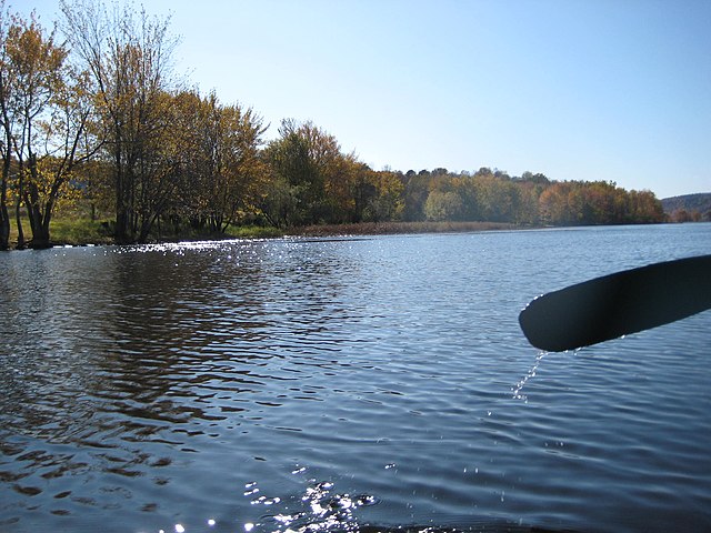
The river widens as it flows through the Hampton Marsh.
High water in the Hampton Marsh in April 2008.
The same area in June 2008, demonstrating the difference in water level.
The lower end of the Hampton Marsh looking across to Darlings Island.
Saint John River (Bay of Fundy)
The Saint John River is a 673-kilometre-long (418 mi) river flowing within the Dawnland region from headwaters in the Notre Dame Mountains near the Maine-Quebec border through western New Brunswick to the northwest shore of the Bay of Fundy. Eastern Canada's longest river, its drainage basin is one of the largest on the east coast at about 55,000 square kilometres (21,000 sq mi). This “River of the Good Wave” and its tributary drainage basin formed the territorial countries of the Wolastoqiyik and Passamaquoddy First Nations prior to European colonization, and it remains a cultural centre of the Wabanaki Confederacy to this day.
Saint John River in Fredericton, NB
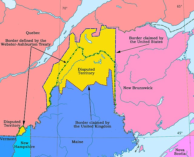
The large yellow disputed area is in the drainage of the Saint John. The international boundary established in 1842 is the dashed green line.
Saint John, NB
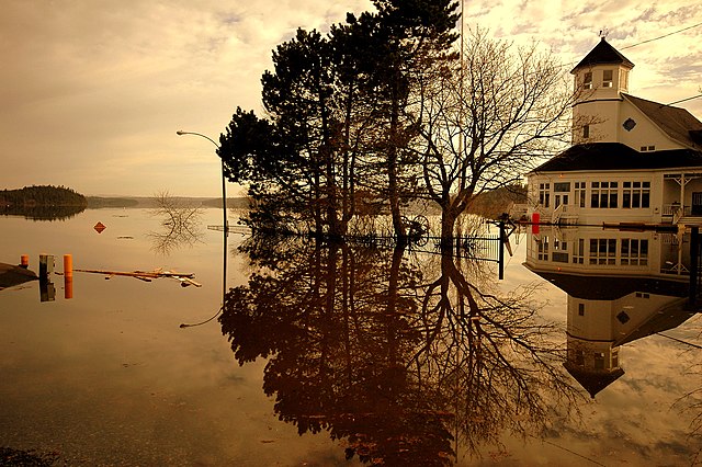
2008 Saint John River Flood