London Borough of Barnet
Videos
Page
The London Borough of Barnet is a local authority area on the northern outskirts of London. The borough was formed in 1965 from parts of the ceremonial counties of Middlesex and Hertfordshire. It is the second largest London borough by population with 389,344 inhabitants as of 2021, also making it the 17th largest district in England. The borough covers an area of 86.74 square kilometres (33 sq mi), the fourth highest of the 32 London boroughs, and has a population density of 45.8 people per hectare, which ranks it 25th.
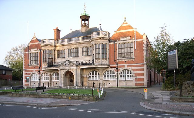
Hendon Town Hall, still used by Barnet council
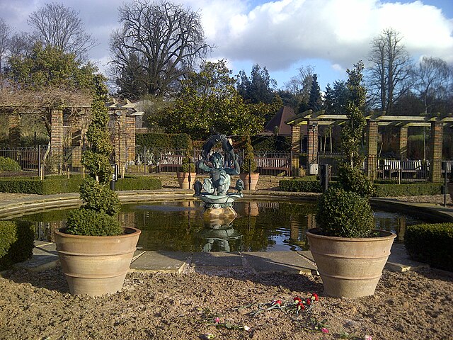
Golders Hill Park in Barnet
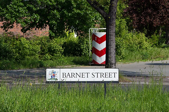
Street sign "Barnet Street" (Barnetstraße) in the Tempelhof-Schöneberg district of Berlin. The district also has streets called Hendonstraße and Finchleystraße
Middlesex
Videos
Page
Middlesex was a county in southeast England. Its area was almost entirely within the wider urbanised area of London and mostly within the ceremonial county of Greater London, with small sections in neighbouring ceremonial counties. The county's boundaries largely followed three rivers: the Thames in the south, the Lea to the east and the Colne to the west. A line of hills formed the northern boundary with Hertfordshire.

Middlesex as part of the Diocese of London in 1714. The diocese was based on the East Saxon kingdom, and was probably originally larger than shown here.

The Middlesex Guildhall at Westminster, which now houses the Supreme Court of the United Kingdom.
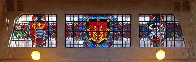
Coats of arms of Middlesex (left) and Buckinghamshire (right) in stained glass at the exit from Uxbridge tube station.
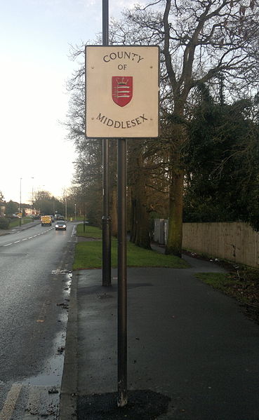
County of Middlesex sign in 2014, on the border between the London Boroughs of Barnet and Enfield.