Menai Strait
Videos
Page
The Menai Strait is a strait which separates the island of Anglesey from Gwynedd, on the mainland of Wales. It is situated between Caernarfon Bay in the south-west and Conwy Bay in the north-east, which are both inlets of the Irish Sea. The strait is about 25 km (16 mi) long and varies in width from 400 metres (1,300 ft) between Fort Belan and Abermenai Point to 7.5 kilometres (4.7 mi) between Puffin Island and Penmaenmawr. It contains several islands, including Church Island, on which is located St Tysilio's Church.
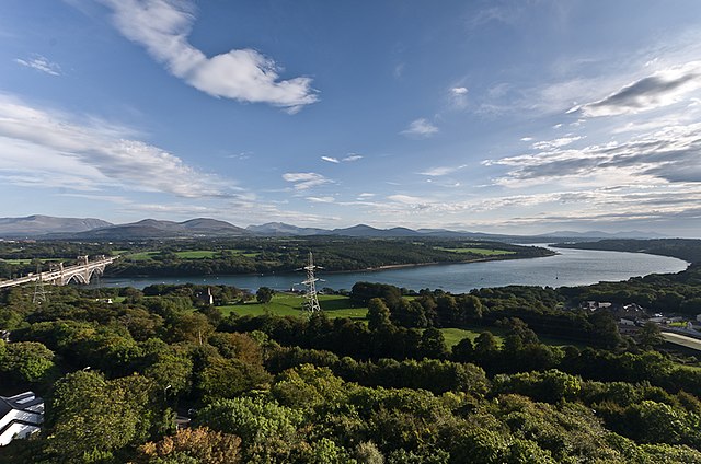
The strait from Anglesey, looking towards Gwynedd, with the Britannia Bridge to the left.

The Menai Strait, painted 1860
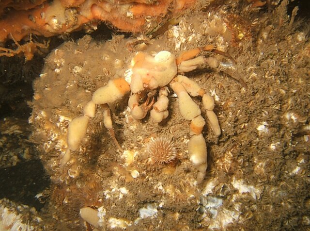
A crab wearing a sponge suit seen underwater below the Menai Suspension Bridge

Thomas Telford's Menai Suspension Bridge.
Anglesey
Videos
Page
Anglesey is an island off the north-west coast of Wales. It forms the bulk of the county known as the Isle of Anglesey, which also includes Holy Island and some islets and skerries. The county borders Gwynedd across the Menai Strait to the southeast, and is otherwise surrounded by the Irish Sea. Holyhead is the largest town, and the administrative centre is Llangefni. The county is part of the preserved county of Gwynedd.

Image: View from the Anglesey Coastal Path (geograph 6222502)
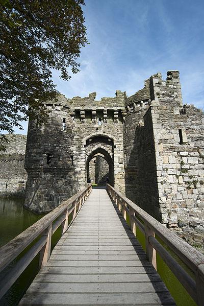
Image: Beaumaris Castle (8074242766)
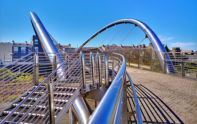
Image: Celtic gateway bridge. Flickr ohefin

Dolmen on Anglesey (Samuel Alken, 1794).