Pennsylvania Avenue National Historic Site
Videos
Page
Pennsylvania Avenue National Historic Site is a National Historic Site in the city of Washington, D.C. Established on September 30, 1965, the site is roughly bounded by Constitution Avenue, 15th Street NW, F Street NW, and 3rd Street NW. The historic district includes a number of culturally, aesthetically, and historically significant structures and places, including Pennsylvania Avenue NW from the White House to the United States Capitol, the Treasury Building, Freedom Plaza, Federal Triangle, Ford's Theatre, the Old Patent Office Building, the Old Pension Office Building, which now houses the National Building Museum, Judiciary Square, and the Peace Monument.
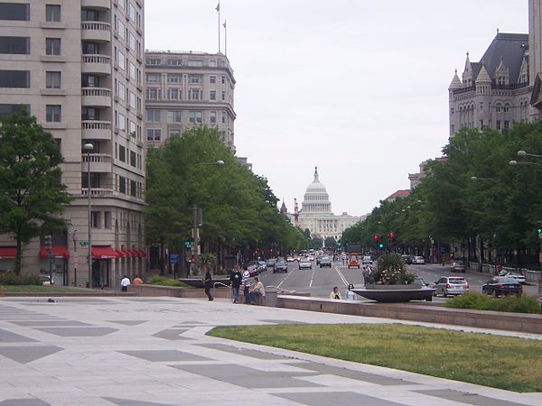
Pennsylvania Avenue N.W. in 2006: Freedom Plaza and its marble inlay of the L'Enfant Plan's 1791 street-grid diagram of Washington, D.C., visible on pavement (foreground), 1111 Pennsylvania Avenue (on left behind trees), Old Post Office Pavilion (on right), and the United States Capitol (background)

Image: Pennsylvania Avenue Historic Site boundaries
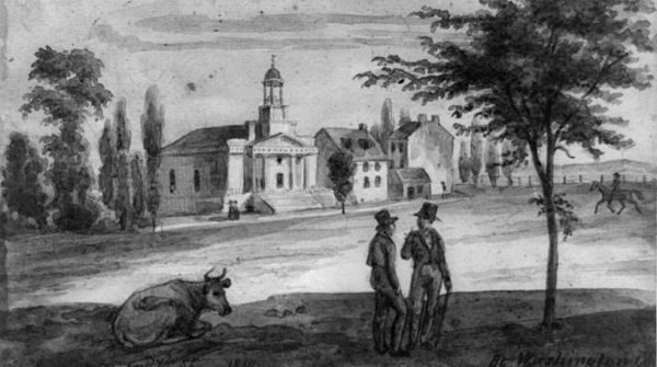
Pennsylvania Avenue and 7th Street in 1839 with the First Unitarian Church on the northeast corner of 6th Street and Pennsylvania Avenue visible in the background
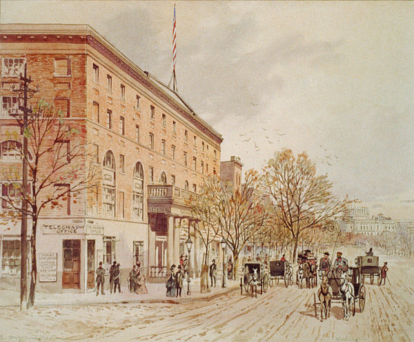
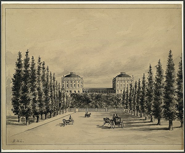
An 1860 watercolor of Pennsylvania Avenue at 6th Street with the not yet finished United States Capitol in the distance and the National Hotel on the left
Pennsylvania Avenue
Videos
Page
Pennsylvania Avenue is a primarily diagonal street in Washington, D.C. that connects the United States Capitol with the White House and then crosses northwest Washington, D.C. to Georgetown. Traveling through southeast Washington from the Capitol, it enters Prince George's County, Maryland, and becomes MD Route 4 and then MD Route 717 in Upper Marlboro, and finally Stephanie Roper Highway.

Pennsylvania Avenue with the U.S. Capitol in the background

A 1942 photo of Pennsylvania Avenue and 14th Street N.W. in front of the U.S. Department of Commerce
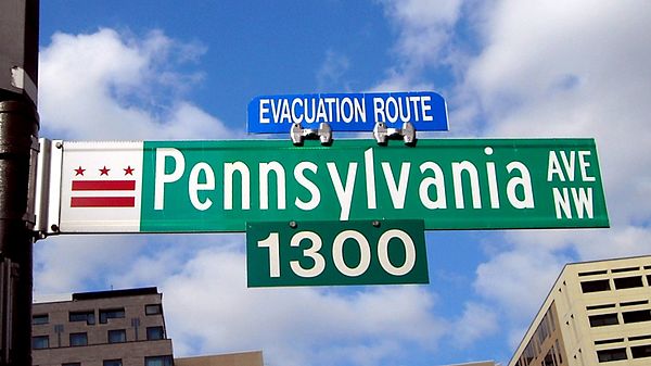
A Pennsylvania Avenue N.W. street sign near the White House
An illustration of Pennsylvania Avenue and the U.S. Capitol before it was burned down by the British on August 24, 1814, during the War of 1812