Public Land Survey System
Videos
Page
The Public Land Survey System (PLSS) is the surveying method developed and used in the United States to plat, or divide, real property for sale and settling. Also known as the Rectangular Survey System, it was created by the Land Ordinance of 1785 to survey land ceded to the United States by the Treaty of Paris in 1783, following the end of the American Revolution. Beginning with the Seven Ranges in present-day Ohio, the PLSS has been used as the primary survey method in the United States. Following the passage of the Northwest Ordinance in 1787, the Surveyor General of the Northwest Territory platted lands in the Northwest Territory. The Surveyor General was later merged with the United States General Land Office, which later became a part of the U.S. Bureau of Land Management (BLM). Today, the BLM controls the survey, sale, and settling of lands acquired by the United States.

Monument referencing the beginning point of the PLSS

Farmland in Kansas divided into quarter sections
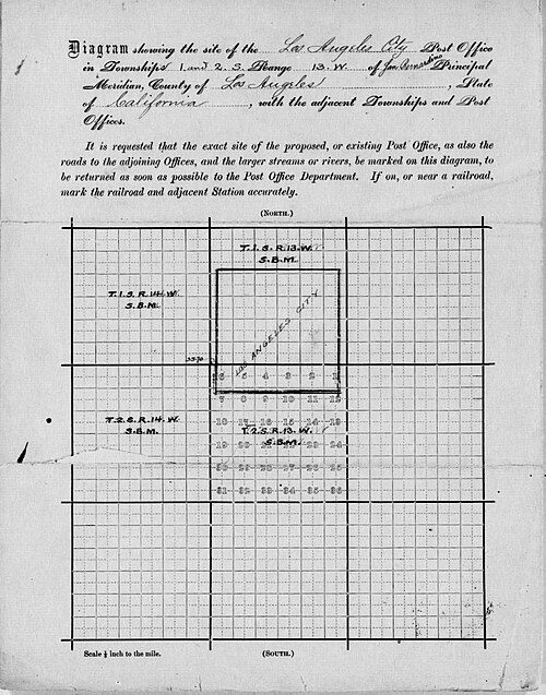
Post office application from 1866 shows the four square Spanish leagues of the pre-statehood Los Angeles Pueblo within the township-range system
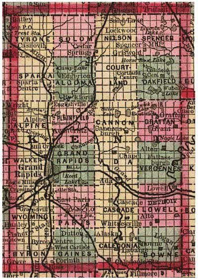
Figure 3. Kent County, Michigan in 1885 as a PLSS example, showing 24 named townships and sectional subdivisions.
Surveying
Videos
Page
Surveying or land surveying is the technique, profession, art, and science of determining the terrestrial two-dimensional or three-dimensional positions of points and the distances and angles between them. These points are usually on the surface of the Earth, and they are often used to establish maps and boundaries for ownership, locations, such as the designed positions of structural components for construction or the surface location of subsurface features, or other purposes required by government or civil law, such as property sales.
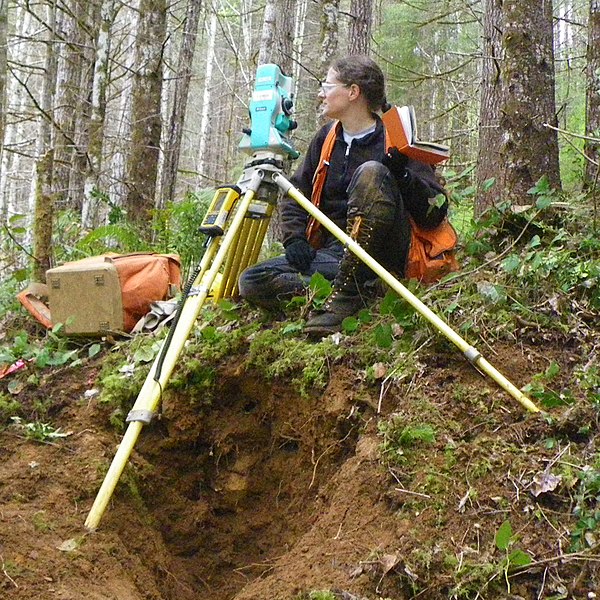
A surveyor using a total station

A student using a theodolite in field
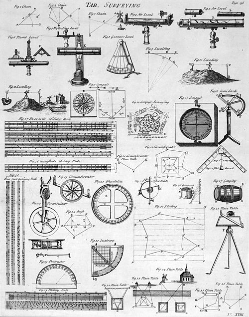
Table of Surveying, 1728 Cyclopaedia
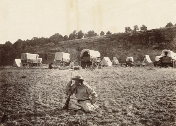
A railroad surveying party at Russel's Tank, Arizona in the 1860s