Ōpāwaho / Heathcote River
The Ōpāwaho / Heathcote River lies within the city boundaries of Christchurch, New Zealand, and is fed from springs near Templeton Road, with a catchment area in wet weather extending as far west as Yaldhurst and Pound Road. It meanders around the base of the Port Hills from west to south-east.
Ōpāwaho / Heathcote River downstream of Barrington Street
Ōpāwaho / Heathcote River in Beckenham
The Ōpāwaho in flood in Beckenham in April 2014
The Woolston Tidal Barrage and the Woolston Cut
Christchurch is the largest city in the South Island and the second-largest city by urban area population in New Zealand, after Auckland. Christchurch lies in the Canterbury Region, near the centre of the east coast of the South Island, east of the Canterbury Plains. It is located near the southern end of Pegasus Bay, and is bounded to the east by the Pacific Ocean and to the south by Banks Peninsula. The Avon River / Ōtākaro flows through the centre of the city, with a large urban park along its banks. Christchurch has a reputation for being an 'English' city, with its architectural identity and common nickname the "Garden City" due to similarities with garden cities in England.
Coat of arms
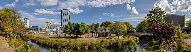
Image: Panorama of northern parts of Christchurch Central City, New Zealand
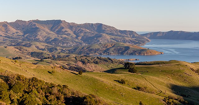
Image: View towards Akaroa from Little Akaloa Road, Canterbury, New Zealand
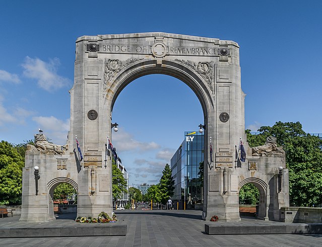
Image: Bridge of Remembrance 01