1.25-meter band
Videos
Page
The 1.25-meter, 220 MHz or 222 MHz band is a portion of the VHF radio spectrum internationally allocated for amateur radio use on a primary basis in ITU Region 2, and it comprises frequencies from 220 MHz to 225 MHz. In the United States and Canada, the band is available on a primary basis from 222 to 225 MHz, with the addition of 219 to 220 MHz on a limited, secondary basis. It is not available for use in ITU Region 1 or ITU Region 3. The license privileges of amateur radio operators include the use of frequencies within this band, which is primarily used for local communications.

Wouxun KG-UVD1P dual-watch handheld for 2 m and 220 MHz.
Very high frequency
Videos
Page
Very high frequency (VHF) is the ITU designation for the range of radio frequency electromagnetic waves from 30 to 300 megahertz (MHz), with corresponding wavelengths of ten meters to one meter.
Frequencies immediately below VHF are denoted high frequency (HF), and the next higher frequencies are known as ultra high frequency (UHF).

VHF television antennas used for broadcast television reception. These six antennas are a type known as a Yagi antenna, which is widely used at VHF.
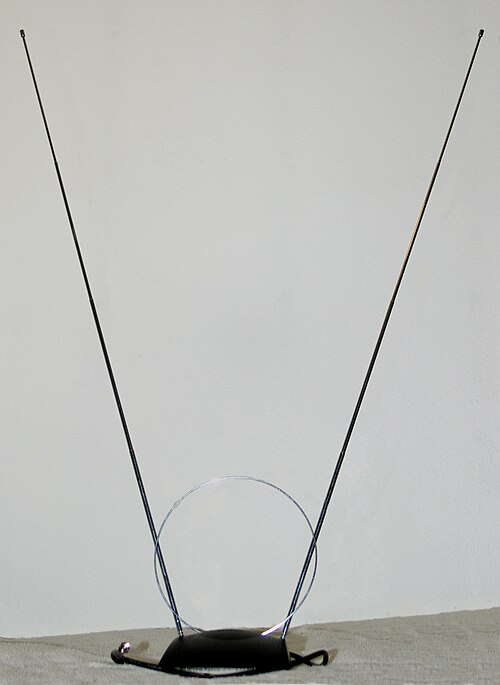
"Rabbit-ears" VHF television antenna (the small loop is a separate UHF antenna)

A VHF television broadcasting antenna. This is a common type called a super turnstile or batwing antenna.