1855 Wairarapa earthquake
The 1855 Wairarapa earthquake occurred on 23 January at about 9.17 p.m., affecting much of the Cook Strait area of New Zealand, including Marlborough in the South Island and Wellington and the Wairarapa in the North Island. In Wellington, close to the epicentre, shaking lasted for at least 50 seconds. The moment magnitude of the earthquake has been estimated as 8.2, the most powerful recorded in New Zealand since systematic European colonisation began in 1840. This earthquake was associated with the largest directly observed movement on a strike-slip fault, maximum 18 metres (59 ft). This was later revised upward to about 20 m (66 ft) slip, with a local peak of 8 m (26 ft) vertical displacement on lidar studies. It has been suggested that the surface rupture formed by this event helped influence Charles Lyell to link earthquakes with rapid movement on faults.
1855 painting of landslip near Newlands by Charles Emilius Gold
Cook Strait separates the North and South Islands of New Zealand. The strait connects the Tasman Sea on the northwest with the South Pacific Ocean on the southeast. It is 22 kilometres (14 mi) wide at its narrowest point, and is considered one of the most dangerous and unpredictable waters in the world. Regular ferry services run across the strait between Picton in the Marlborough Sounds and Wellington.
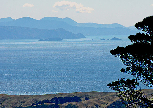
A view from the summit of Mount Kaukau across Cook Strait to the Marlborough Sounds in the distance.
Pelorus Jack
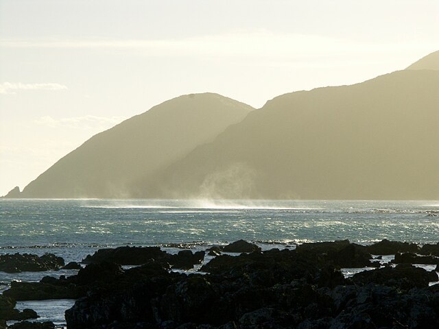
Wellington's south coast, seen from Island Bay
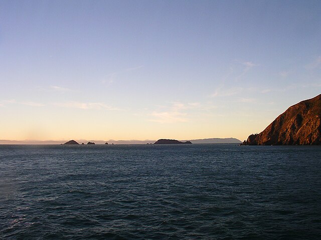
View from Cape Koamaru of the Brothers Islands with Wellington west coast on the horizon