1974 Brisbane flood
Videos
Page
In January 1974 a flood occurred in Brisbane, Queensland, Australia after three weeks of continual rain. The Brisbane River, which runs through the heart of the city, broke its banks and flooded the surrounding areas. The cyclone that produced the flood also flooded surrounding cities: Ipswich, Beenleigh, and the Gold Coast.
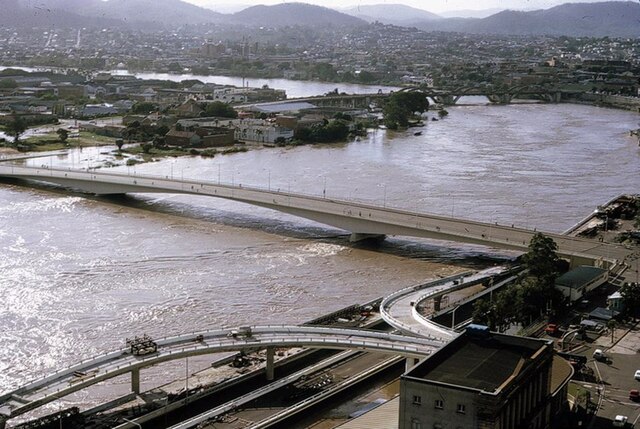
Victoria Bridge during flood
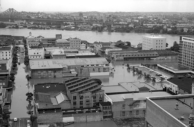
Aerial view looking at the flooding in Mary and Margaret Streets in the Brisbane CBD, January 1974
"Watermark" in New Farm Park is a red steel sculpture commemorating the flood.

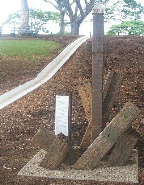
Water level marker commemorating Brisbane floods in Brisbane City Botanical Gardens.
Brisbane River
Videos
Page
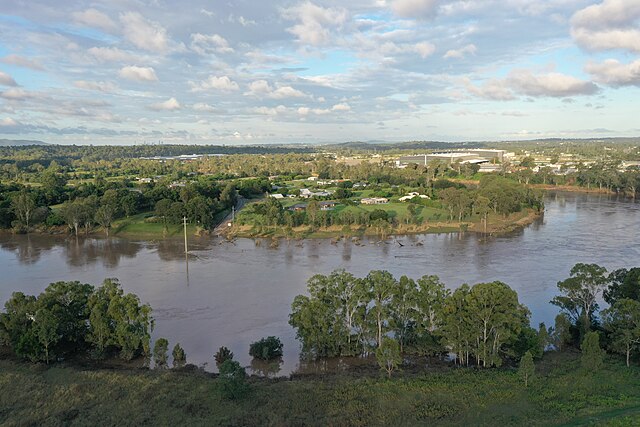
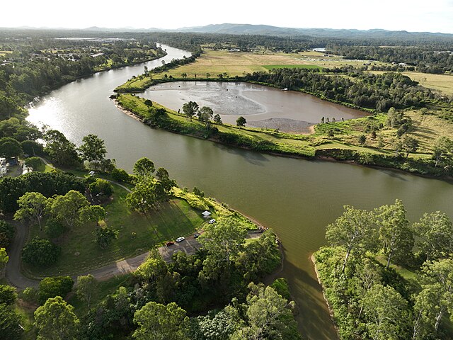
The Brisbane River is the longest river in South East Queensland, Australia, and flows through the city of Brisbane, before emptying into Moreton Bay on the Coral Sea. John Oxley, the first European to explore the river, named it after the Governor of New South Wales, Sir Thomas Brisbane in 1823. The penal colony of Moreton Bay later adopted the same name, eventually becoming the present city of Brisbane. The river is a tidal estuary and the water is brackish from its mouth through the majority of the Brisbane metropolitan area westward to the Mount Crosby Weir. The river is wide and navigable throughout the Brisbane metropolitan area.

Brisbane River from Kangaroo Point
Moggill Ferry Reserve was completely under water after the 2022 Flood
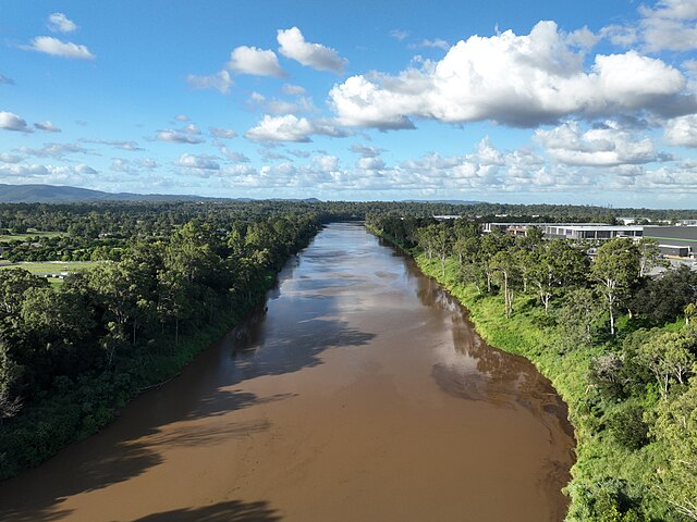
Muddy Brisbane river covered with debris after days of raining
Goodna Boat Ramp in May 2023