The Brisbane River is the longest river in South East Queensland, Australia, and flows through the city of Brisbane, before emptying into Moreton Bay on the Coral Sea. John Oxley, the first European to explore the river, named it after the Governor of New South Wales, Sir Thomas Brisbane in 1823. The penal colony of Moreton Bay later adopted the same name, eventually becoming the present city of Brisbane. The river is a tidal estuary and the water is brackish from its mouth through the majority of the Brisbane metropolitan area westward to the Mount Crosby Weir. The river is wide and navigable throughout the Brisbane metropolitan area.
Brisbane River from Kangaroo Point
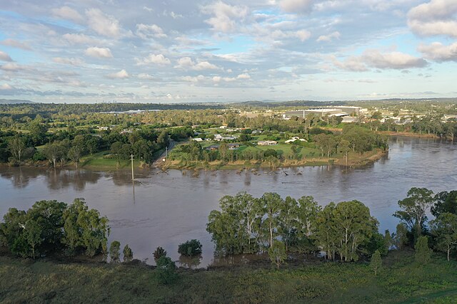
Moggill Ferry Reserve was completely under water after the 2022 Flood
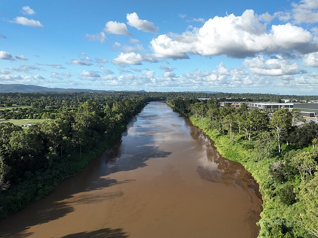
Muddy Brisbane river covered with debris after days of raining
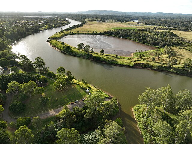
Goodna Boat Ramp in May 2023
South East Queensland (SEQ) is a bio-geographical, metropolitan, political and administrative region of the state of Queensland in Australia, with a population of approximately 3.8 million people out of the state's population of 5.1 million. The area covered by South East Queensland varies, depending on the definition of the region, though it tends to include Queensland's three largest cities: the capital city Brisbane; the Gold Coast; and the Sunshine Coast. Its most common use is for political purposes, and covers 35,248 square kilometres (13,609 sq mi) and incorporates 11 local government areas, extending 240 kilometres (150 mi) from Noosa in the north to the Gold Coast and New South Wales border in the south, and 140 kilometres (87 mi) west to Toowoomba. It is the third largest urban area in Australia by population.
Queensland's first railway linked Grandchester to Ipswich, 1865
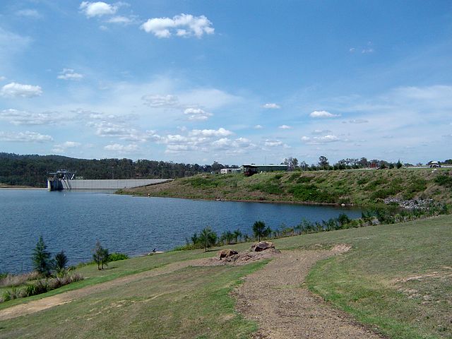
Wyaralong Dam was opened in 2011
South-East Queensland from the Landsat 7 satellite
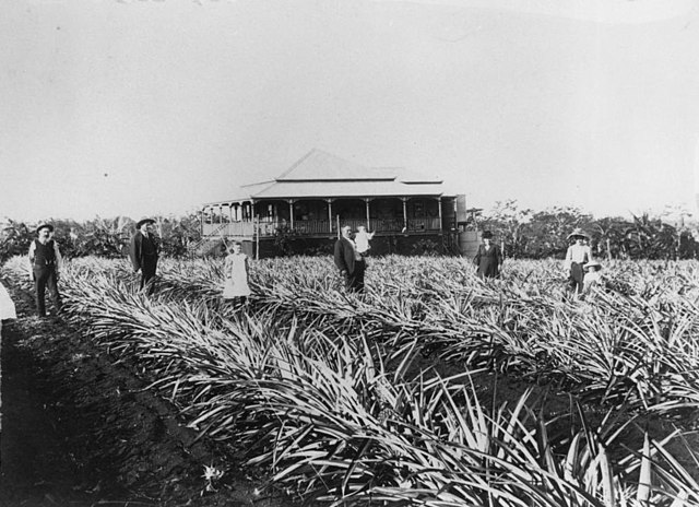
Pineapple plantation at Cleveland, 1907


